Difference between revisions of "2024-08-14 30 -87"
From Geohashing
(→Photos) |
|||
| (3 intermediate revisions by one other user not shown) | |||
| Line 17: | Line 17: | ||
[[File:Screenshot_20240814_184223_Gallery.jpg]] | [[File:Screenshot_20240814_184223_Gallery.jpg]] | ||
| + | |||
| + | [[File:Screenshot_20240814_203831_Maps.jpg]] | ||
| + | |||
| + | [[File:Screenshot_20240814_185010_Gallery.jpg]] | ||
| + | |||
| + | [[Category:Expeditions]] | ||
| + | [[Category:Expeditions with photos]] | ||
| + | [[Category:Coordinates not reached]] | ||
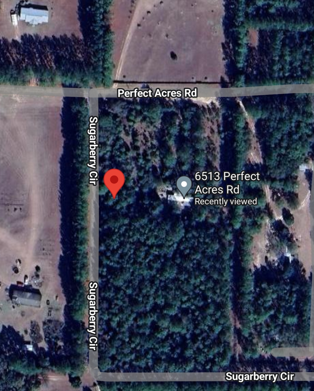
| + | [[Category:Not reached - No public access]] | ||
{{location|US|FL|SA}} | {{location|US|FL|SA}} | ||
Latest revision as of 08:03, 16 August 2024
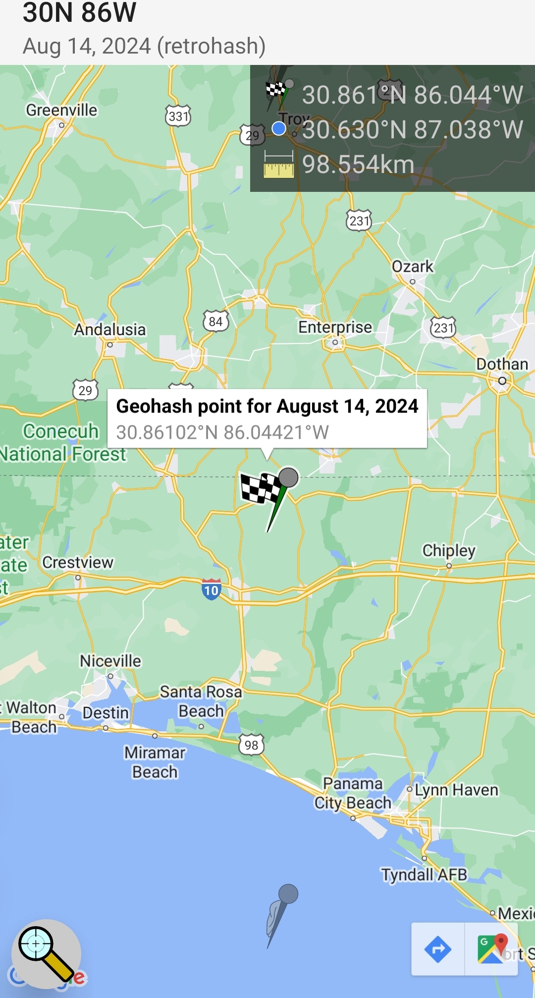
| Wed 14 Aug 2024 in 30,-87: 30.8610175, -87.0442098 geohashing.info google osm bing/os kml crox |
Contents
Location
The Geohash location in surrounding area of Jay/Milton, Florida graticule (30, -87)
Santa Rosa County, Florida graticule 30,-87
Expedition
The Geohash location is in the surrounding area of Jay/Milton; of Santa Rosa County, Florida graticule (30, -87)


