Difference between revisions of "2024-09-24 47 8"
From Geohashing
Globescorer (talk | contribs) (→Photos) |
Globescorer (talk | contribs) (→Photos) |
||
| Line 19: | Line 19: | ||
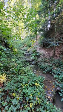
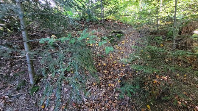
File:2024-09-24 47 8 way to go 2.jpg|Way to go 2 / down to the stream | File:2024-09-24 47 8 way to go 2.jpg|Way to go 2 / down to the stream | ||
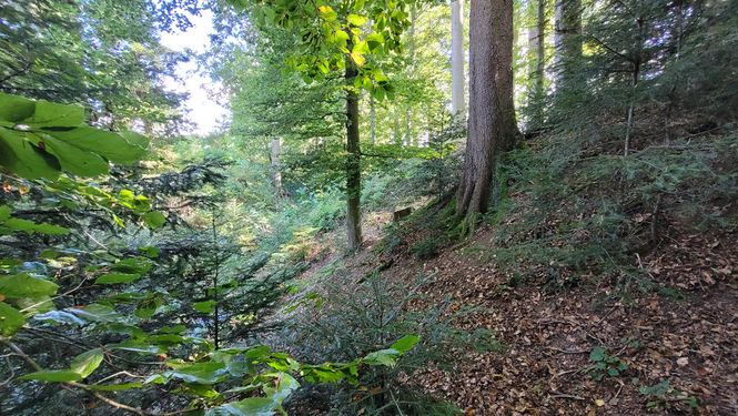
File:2024-09-24 47 8 bridge 2.jpg|there's my bridge | File:2024-09-24 47 8 bridge 2.jpg|there's my bridge | ||
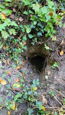
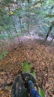
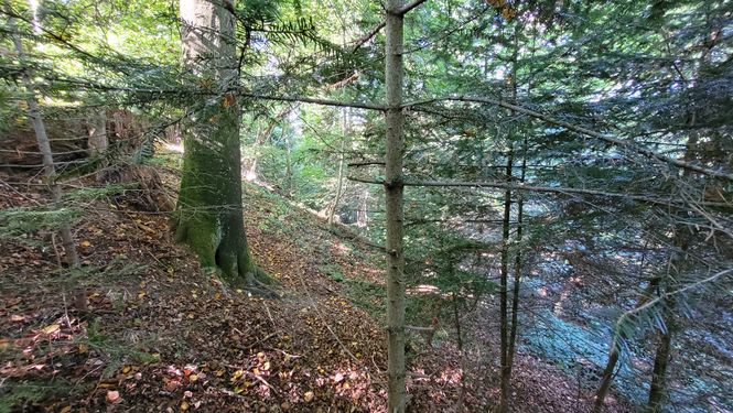
| − | File:2024-09-24 47 8 The Geohash.jpg|the geohash | + | File:2024-09-24 47 8 The Geohash.jpg|the geohash on the other side |
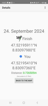
File:2024-09-24 47 8 proof 1.jpg|The proof 1 | File:2024-09-24 47 8 proof 1.jpg|The proof 1 | ||
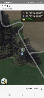
File:2024-09-24 47 8 proof 2.jpg|The proof 2 | File:2024-09-24 47 8 proof 2.jpg|The proof 2 | ||
Revision as of 07:18, 25 September 2024
| Tue 24 Sep 2024 in 47,8: 47.5219591, 8.8309798 geohashing.info google osm bing/os kml crox |
Location
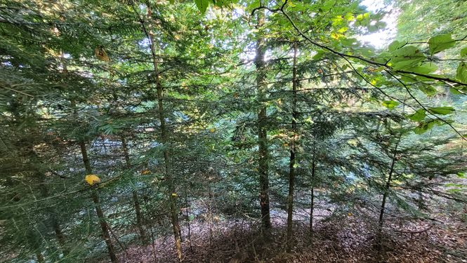
This Geohash is located in a forest between Gündlikon and Buch.
Participants
Plans
going there in my free afternoon if there's left enough time.
Expedition
Photos
Achievements
globescorer earned the Land geohash achievement
|

