Difference between revisions of "2025-01-07 49 8"
(Report!) |
|||
| Line 28: | Line 28: | ||
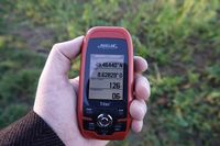
|Image:2025-01-07_49_8_gps.jpg|too far | |Image:2025-01-07_49_8_gps.jpg|too far | ||
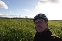
|Image:2025-01-07_49_8_hp.jpg|not happy | |Image:2025-01-07_49_8_hp.jpg|not happy | ||
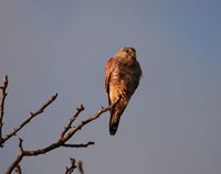
| + | |Image:2025-01-07_49_8_turmfalke.jpg|kestrel | ||
| + | |Image:2025-01-07_49_8_eichelhaeher.jpg|jay | ||
}} | }} | ||
Latest revision as of 17:04, 7 January 2025
| Tue 7 Jan 2025 in Mannheim: 49.4651997, 8.6270529 geohashing.info google osm bing/os kml crox |
Location
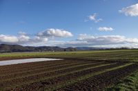
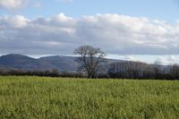
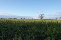
Today's location is in a field near Ladenburg.
Country: Germany; state: Baden-Württemberg (EU:DE:BW); administrative region: Karlsruhe; district: Rhein-Neckar-Kreis; municipality: Ladenburg
Weather: sunny, fresh (about 7°C)
Expedition
Danatar
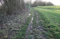
I was pretty sure that I would not be able to reach this hashpoint, because it looked like it would be in a field. I was also pretty sure that even if it was an empty field which I would be able to enter, that it would be very wet and muddy. But the spot was not far and the weather was sunny, so I might as well get some fresh air and activity. I cycled through Ladenburg and soon I was near the spot. The field the hashpoint is in is right next to the orchard where my last unreached hashpoint was, 2024-10-20 49 8. There was no fence around the field but it was full of high plants and the ground was very muddy, as expected. The nearest I got to the spot was 200 meters from the north, then I cycled around the field and got within 130 meters. So I successfully logged my 30th no-trespassing geohash and left. On the return trip I cycled along the Neckar river.
|
