Difference between revisions of "Buchanan, Oregon"
From Geohashing
imported>Michael5000 |
m (per Renaming Proposal) |
||
| (3 intermediate revisions by 2 users not shown) | |||
| Line 19: | Line 19: | ||
== Expedition History == | == Expedition History == | ||
| − | ===[[2011-07- | + | ===[[2011-09-15 43 -118]]=== |
| + | |||
| + | [[User:Michael5000|Michael5000]] returns for a night visit to the Malheur Wildlife Refuge. | ||
| + | |||
| + | ===[[2011-07-17 43 -118]]=== | ||
[[User:Michael5000|Michael5000]] and [[User:Mrs.5000|Mrs.5000]] hiked in to a hashpoint a few miles east of US-395 in the Malheur National Forest. | [[User:Michael5000|Michael5000]] and [[User:Mrs.5000|Mrs.5000]] hiked in to a hashpoint a few miles east of US-395 in the Malheur National Forest. | ||
| − | {{ | + | {{Graticule unlocked |
| latitude = 43 | | latitude = 43 | ||
| longitude = -118 | | longitude = -118 | ||
| Line 32: | Line 36: | ||
[[Category:Oregon]] | [[Category:Oregon]] | ||
| + | [[Category:Inactive graticules]] | ||
Latest revision as of 04:21, 20 March 2024
| Kimberly | Prairie City | Baker City |
| Hines | Buchanan | Vale |
| Plush | Fields | Jordan Valley |
|
Today's location: geohashing.info google osm bing/os kml crox | ||
Deep in the least populated section of Oregon, this graticule probably holds no settlement with a population of more than a few dozen. The terrain varies from desert canyons to the marshes around Malheur Lake. Aside from three lonely highways, US-395, US-26, and Oregon State Highway 78, there are not many paved roads in the area.
Expedition History
2011-09-15 43 -118
Michael5000 returns for a night visit to the Malheur Wildlife Refuge.
2011-07-17 43 -118
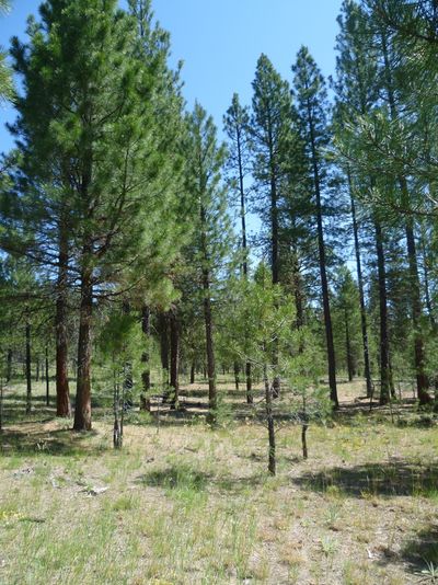
Michael5000 and Mrs.5000 hiked in to a hashpoint a few miles east of US-395 in the Malheur National Forest.
Michael5000 and Mrs.5000 earned the Graticule Unlocked Achievement
|
