Difference between revisions of "2009-07-10 51 -3"
imported>Homsar (oops) |
m |
||
| (2 intermediate revisions by 2 users not shown) | |||
| Line 29: | Line 29: | ||
[[Category:Expeditions with photos]] | [[Category:Expeditions with photos]] | ||
[[Category:Expedition without GPS]] | [[Category:Expedition without GPS]] | ||
| − | |||
[[Category:Coordinates not reached]] | [[Category:Coordinates not reached]] | ||
| + | [[Category:Not reached - No public access]] | ||
| + | {{location|GB|CYM|ATA}} | ||
Latest revision as of 18:43, 30 May 2022
| Fri 10 Jul 2009 in 51,-3: 51.6128659, -3.9618463 geohashing.info google osm bing/os kml crox |
Location
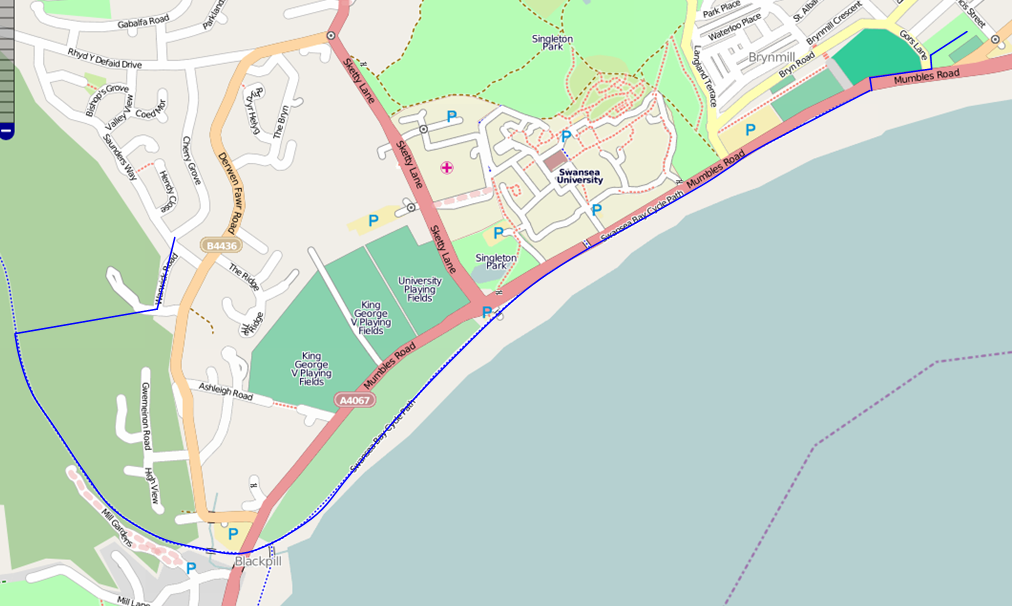
Victoria Park, Swansea - publicly-accessible, near public transport (bus) as well as a cycle route along the sea front, and refreshments (Spar), as well as the beach
Participants
- Homsar showed up
Expedition
Once again it started raining just as I was about to leave. Went anyway, taking refreshments in case other hashers turned up. Arrived at Victoria Park around 15:45; sheltered from the weather and hung round until about half past, having a glass of Coke Zero on a bench at one point. There was a bowls match going on on the bowling green on which the hashpoint lay, so I chickened out with 20m or so to go. No one else showed, except for the bowlers and some academically-dressed folk coming from the Brangwyn Hall; the graduation ceremony of Swansea Metropolitan University was taking place.
Tracklog
If someone wants to donate a GPS receiver so I can geohash without bits of paper and help improve OpenStreetMap, let me know :o)


