Difference between revisions of "Template:Expedition Images/2010-06-05"
From Geohashing
imported>Pne (Created page with 'View from the entrance near the bus stop to the field where the geohash is. The actual location is between the tree in the middle of the field and the tree at the right, at the …') |
imported>Jiml (Add lost expedition photo) |
||
| (2 intermediate revisions by 2 users not shown) | |||
| Line 1: | Line 1: | ||
| − | + | <!-- Please do not include more than 1 photo per graticule. --> | |
| + | <!-- See Template:Expedition Images/How-to for more information. --> | ||
| − | + | {{Gallery | height=130 | lines=1 | |
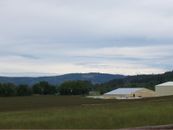
| + | | Image:2010-06-05_45_-123-area2.jpg | [[2010-06-05 45 -123|Gaston, Oregon, USA]] | ||
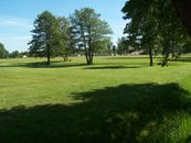
| + | | Image:2010-06-05 53 10 field.jpg | [[2010-06-05 53 10|Hamburg, Germany]] | ||
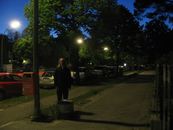
| + | | Image:2010-06-05 52 13 ilpadre hashpoint.jpg | [[2010-06-05 52 13|Berlin, Germany]] | ||
| − | + | }} | |
| − | |||


