Difference between revisions of "2021-04-18 50 11"
(+tracklog) |
|||
| Line 30: | Line 30: | ||
==tracklog== | ==tracklog== | ||
| − | + | [http://www.mygpsfiles.com/app/#https://www.dropbox.com/sh/l38ubdidvmv439v/AACNW1b2Qp5INkXbuRHXo3hda/2021/2021-04-18_50_11-triton.gpx triton tracklog] | |
Latest revision as of 19:22, 27 July 2022
| Sun 18 Apr 2021 in Erfurt: 50.8854353, 11.1772238 geohashing.info google osm bing/os kml crox |
Location
Today's location is...
Country: Germany; state: Thüringen (Thuringia, EU:DE:TH); district: Weimarer Land; municipality: Nauendorf.
Expedition
Danatar
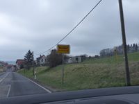
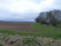
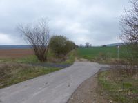
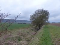
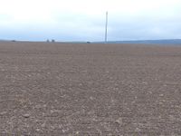
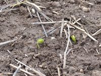
On the way back to Dresden from my parents' place, I wanted to visit this hashpoint which was not far from the Autobahn. I took the Erfurt East exit, then drove through Nauendorf before parking the car at the beginning of a field track. Then I walked along the field track. Past the spot, because there was a ditch with water in the way and the next "bridge" was a bit further down the track. Then, on the correct side of the ditch, I walked until I was at the edge of the hashfield, which looked like it was empty. But when I prepared to step into the field for the last few dozen meters, I saw tiny seedlings peek out between the clumps of soil. Since I didn't want to trample them, this ended the attempt, gaining me another "No trespassing" mark. I walked back to the car, then I took a route via some small villages towards the Apolda exit of the Autobahn A4, so that I would make too much of a detour. At Bad Berka some streets were familiar to me; later I found out that I had used them during the 2019-05-04 50 10 expedition.
|
