Difference between revisions of "File:Closest point on land.jpg"
From Geohashing
imported>HarlequinsDad (GPS view of closest point of approach to mark.) |
imported>AperfectBot m (Ook.) |
||
| Line 1: | Line 1: | ||
| − | GPS view of closest point of approach to mark. | + | GPS view of closest point of approach to mark.[[Category:Meetup on 2008-07-16]][[Category:Meetup in 47 -122]] |
Revision as of 12:04, 1 June 2010
GPS view of closest point of approach to mark.
File history
Click on a date/time to view the file as it appeared at that time.
| Date/Time | Thumbnail | Dimensions | User | Comment | |
|---|---|---|---|---|---|
| current | 15:34, 30 January 2020 | 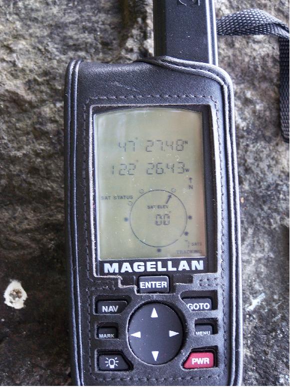 | 581 × 775 (190 KB) | Maintenance script (talk | contribs) |
- You cannot overwrite this file.
File usage
The following page links to this file: