Difference between revisions of "2009-02-16 50 -117"
From Geohashing
imported>Juventas (new page, testing thumbnails) |
imported>Juventas (fixing thumbs) |
||
| Line 18: | Line 18: | ||
<gallery perrow="2" widths="184px"> | <gallery perrow="2" widths="184px"> | ||
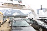
| − | Image:2009-02- | + | Image:2009-02-16_galena_ferry2.jpg |
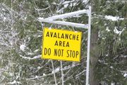
Image:2009-02-16_do_not_stop.jpg | Image:2009-02-16_do_not_stop.jpg | ||
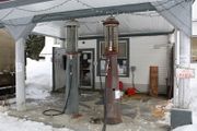
Image:2009-02-16_trout_lake_pump.jpg | Image:2009-02-16_trout_lake_pump.jpg | ||
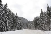
| − | Image:2009-02- | + | Image:2009-02-16_trout_lake_landscape2.jpg |
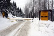
Image:2009-02-16_mine_gate.jpg | Image:2009-02-16_mine_gate.jpg | ||
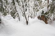
Image:2009-02-16_so_close.jpg | Image:2009-02-16_so_close.jpg | ||
Revision as of 07:28, 20 February 2009
| Mon 16 Feb 2009 in Nakusp, British Columbia: 50.6379620, -117.5620304 geohashing.info google osm bing/os kml crox |
Location
Outside of Trout Lake, near an active mining road.
Expeditions
