Difference between revisions of "2008-05-22 44 -93"
From Geohashing
imported>Ironiridis |
imported>Ironiridis (include photos) |
||
| Line 9: | Line 9: | ||
|drivefrom=Minneapolis, MN}} | |drivefrom=Minneapolis, MN}} | ||
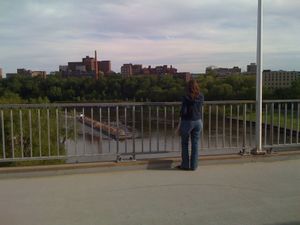
| − | A | + | [[Image:2008-05-22 44 -93 Picture 1.JPG|thumb|300 px|A view closely approximating the satellite image of the geohash]] |
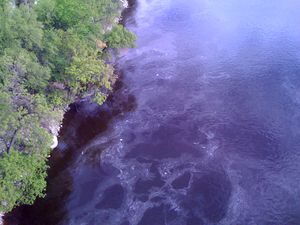
| + | [[Image:2008-05-22 44 -93 Picture 2.JPG|thumb|300 px|Looking West on the South side of the bridge]] | ||
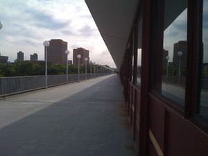
| + | [[Image:2008-05-22 44 -93 Picture 3.JPG|thumb|300 px|[[User:Springbok|Abi]] takes photos of the river]] | ||
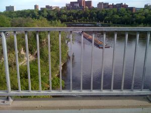
| + | [[Image:2008-05-22 44 -93 Picture 4.JPG|thumb|300 px|Capturing the point itself, pictured at center, in the river]] | ||
Revision as of 11:55, 23 May 2008
This meetup was accomplished at 6 PM local time. Attending were Chris and Abi.
- 2008-05-22: 44.972874°, -93.238697° - On the East Bank of the UMN Campus on the Washington Ave Bridge (about 4m or 1.5 miles by car from Minneapolis, MN)

Abi takes photos of the river


