Difference between revisions of "2008-05-24 48 11"
From Geohashing
imported>Thomcat m |
imported>ReletBot m (Failed => Not reached) |
||
| Line 24: | Line 24: | ||
| date=2008-05-24 | | date=2008-05-24 | ||
}} | }} | ||
| + | |||
| + | <!-- well, okay, there was user error also... --> | ||
[[Category:Expeditions]] | [[Category:Expeditions]] | ||
[[Category:Coordinates not reached]] | [[Category:Coordinates not reached]] | ||
| − | [[Category: | + | [[Category:Not reached - Technology]] |
| − | |||
[[Category:Expedition without GPS]] | [[Category:Expedition without GPS]] | ||
Revision as of 20:37, 31 March 2009
I have been there. And I got the split-double-wrong achievement!
- I used the script to calculate the coordinates and print maps on Friday, once the stock opened. But I generated the Friday's coordinates and went there on Saturday - my mistake. Date is part of the hash.
- The algorithm was changed between the time I printed my docs and the time I went, so even if I had printed the right day's coordinates, it would still be the wrong coordinates in total.
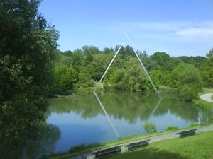
Nevertheless, I went here and it was nice: 48.400246° x 11.722771°
Check my userpage for more pictures, BB :)
- Me too. Same date, same place. Definitely worth the trip though. --84.153.204.245 10:58, 28 May 2008 (UTC)
Real coordinates
Real coordinates according to the new protocol would have been 48.126648° x 11.547533° which is right in the center of Munich.
| Sat 24 May 2008 in 48,11: 48.1266480, 11.5475331 geohashing.info google osm bing/os kml crox |


