Difference between revisions of "2003-06-21 50 19"
From Geohashing
imported>Malgond (→Expedition) |
imported>Malgond (→Expedition) |
||
| Line 60: | Line 60: | ||
Image:2003-06-21_50_19-19.jpeg | | Image:2003-06-21_50_19-19.jpeg | | ||
Image:2003-06-21_50_19-20.jpeg | | Image:2003-06-21_50_19-20.jpeg | | ||
| − | |||
| − | |||
| − | |||
| − | |||
| − | |||
| − | |||
| − | |||
| − | |||
Image:2003-06-21_50_19-29.jpeg | | Image:2003-06-21_50_19-29.jpeg | | ||
Image:2003-06-21_50_19-30.jpeg | | Image:2003-06-21_50_19-30.jpeg | | ||
Revision as of 01:00, 24 June 2015
| Sat 21 Jun 2003 in 50,19: 50.3619306, 19.1975492 geohashing.info google osm bing/os kml crox |
Geohashing on our wedding anniversary.
Location
On the bank of an artificial lake in Dąbrowa Górnicza, Poland.
Participants
Malgond and his wife.
Plans
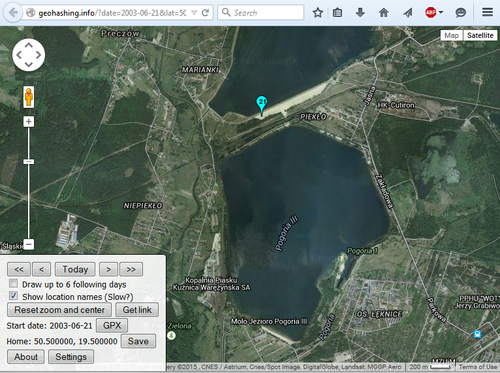 |
Since I started geohashing, I review the achievement list quite often - just to see if I can have some extra fun with little effort and it came to my mind that a Wedding Anniversary one would be nice, specifically that the date was coming... Since I don't have a GPS device still, I had little hope while keying in the date and location in the Eupeodes' page, but... hooray! It's an easy one - and a marvelously pleasant one as well. The hash for our wedding day and graticule lies on a sandy bank of an artificial lake! Perfect place! There's also one peculiar thing on this map - the locality to the west of the dike between the reservoirs is called PIEKŁO (Polish for Hell), while the one to the south-west is named NIEPIEKŁO (Not-hell). I have no idea why these neighbourhoods are named so strangely, but our wedding-day geohash lies exactly between them. It evokes some philosophical thoughts... | |
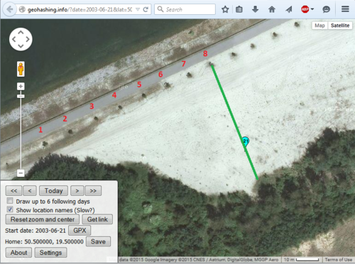 |
Luckily, the hash is also easy to reach without GPS - just count these bushes and at the eighth one go straight towards the forest line up to about three-thirds distance. From Google Street View I have determined that the lane seen on the satellite view is closed for traffic, only pedestrians and bicycles allowed - nice! At the east end of the dike there's a sandy parking place. The two bodies of water lie in an area between two major roads, the S1 expressway to the east and the 86 road to the west, so it is very easy to get there by car. It is about 100 kilometers from home. |
Expedition
 |
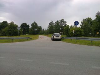 |
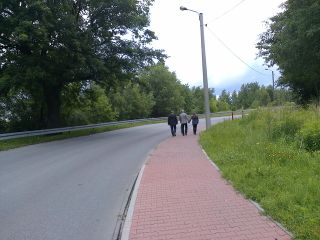
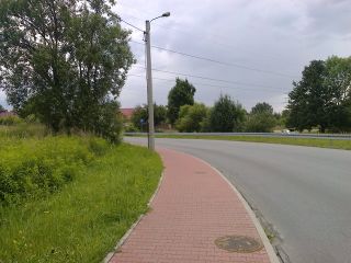
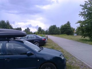
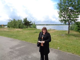
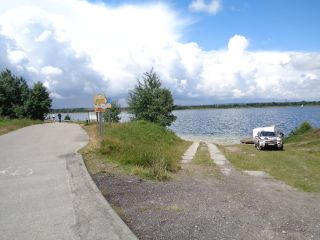
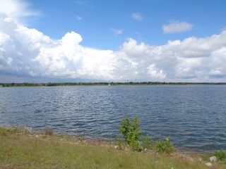
We have arrived from the east and found the beginning of the bike lane on a curve. Past the curve there was an entry to a large sandy area designated as a parking lot, where we have parked our car. The weather started to clear a bit, sun was shining and there was a beautiful view to the lake. |
 |
 |
|
 |
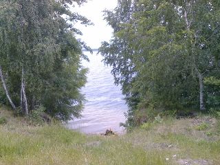 |
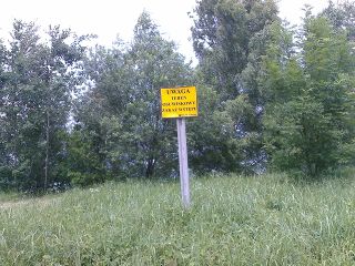
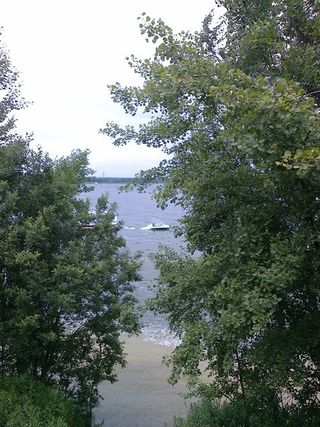
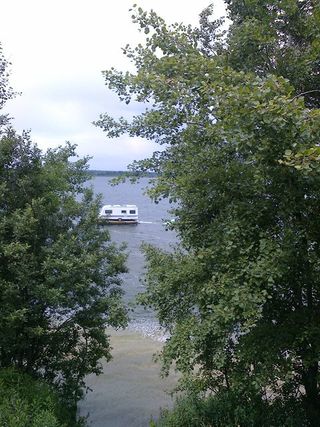
The banks of the lake at this place were high, steep, rugged and slippery. There were signs posted, warning of landslides. However, this have not kept people from sneaking down and sunbathing at the brink of the lake. I have spotted four crazy men in a large pickup truck, cursing heavily while they tried to push a large camping trailer on a raft. In the pickup's trunk they had a big propane-fired barbecue, a bunch of other camping equipment and a small inflatable boat with a motor. Later, when we were walking back to our car, I have seen the little boat hauling the raft with the trailer on it... |
 |
 |
|
 |
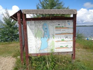 |
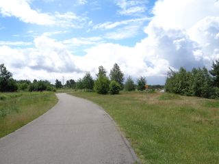
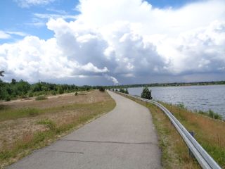
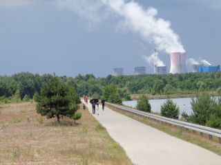
We walked along the lane, enjoying the sunshine and the fresh breeze from the lake. Once in a while a person on a bicycle or on skates whizzed by us. There was a large board posted with a diagram of the lake, which explained its purpose and features. It appears that the high eroding banks are an effect of a low water level. It is planned to be raised by several meters once a nearby sand quarry ceases its operation. In the distance there loomed the cooling towers and chimneys of the Łagisza power plant. |
 |
 |
|
 |
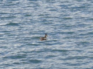 |
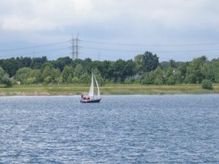
There wasn't much ado on the lake itself, but I was able to spot one sailing boat and a pair of grebes. |
Unsorted photos.
Achievements
Malgond earned the Wedding anniversary geohash achievement
|


