Difference between revisions of "2008-06-22 40 -83"
From Geohashing
imported>Alex |
imported>Thomcat (Success/failure category added) |
||
| Line 37: | Line 37: | ||
</gallery> | </gallery> | ||
| − | + | [[Category:Expeditions]] | |
| − | [[Category: | + | [[Category:Expeditions with photos]] |
| + | [[Category:Coordinates not reached]] | ||
| + | [[Category:Failed - No public access]] | ||
Revision as of 14:57, 11 August 2008
| Sun 22 Jun 2008 in 40,-83: 40.7465293, -83.2642328 geohashing.info google osm bing/os kml crox |
| Prev Sat SMTWTF Next Sat |
Neighboring Meetups today → |
NW | N | NE |
| W | us | E | ||
| SW | S | SE |
The Marysville, Ohio geohash for Sunday, June 22, 2008 was in a field near Upper Sandusky, Ohio, particularly close to the Little Sandusky River.
Who came?
- Chris and Alex drove by the hash on their way back from Toledo, Ohio, after having driven by Friday's hash on the way up. Both hashes were conveniently near US Route 23 in the vicinity of Upper Sandusky. They didn't actually make it that close to the hash as it was a ways out into farmland.
- Pictures
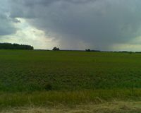
The field containing the hash.
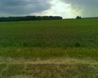
The hash was pretty far out there, so even from our landmark (a railroad crossing) it was difficult to estimate where it actually was.
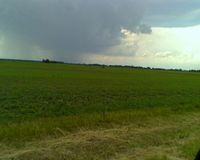
Those angry storm clouds pelted some rain down on us once we drove away from the hash.
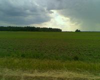
More fieldishness.

Alex is a happy geohasher!

Chris is a VERY happy, or possibly very shocked geohasher!

Then Chris tried out more of an emohasher look.


