Difference between revisions of "Austin, Minnesota"
From Geohashing
imported>Trane (Cleanup.) |
imported>Trane (Add expedition.) |
||
| Line 22: | Line 22: | ||
== Completed Geohashes == | == Completed Geohashes == | ||
| + | * [[2009-09-10 43 -92]]: [[User:Trane|Mark]] took a lunch break in the corn there and posted to #geohash from the hashpoint. | ||
* [[2009-07-22 43 -92]]: [[User:Trane|Mark]] took a lunch break there with the help of a GPS owning friend. | * [[2009-07-22 43 -92]]: [[User:Trane|Mark]] took a lunch break there with the help of a GPS owning friend. | ||
Revision as of 20:18, 10 September 2009
| Minneapolis SW | St. Paul SE | Eau Claire, Wisconsin |
| Albert Lea | Austin | La Crosse, Wisconsin |
| Ames, Iowa | Waterloo, Iowa | Cedar Rapids, Iowa |
|
Today's location: not yet announced | ||
The Austin, Minnesota graticule is at latitude 43, longitude -92. The city of Austin is right along the western border of this graticule; Austin residents may want to consider geohashing in the Albert Lea graticule instead.
Local Geohashers
Mark actually lives in the St. Paul SE, Minnesota graticule but, being right on the 44th parallel, finds the rural nature of the Austin, Minnesota graticule to be more reclusively appealing. He doesn't own a GPS though, so really it just worked out best for mooching a friend's GPS on one rare occasion that the hash wasn't a few thousand feet into a field of crops.
Completed Geohashes
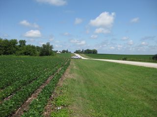
- 2009-09-10 43 -92: Mark took a lunch break in the corn there and posted to #geohash from the hashpoint.
- 2009-07-22 43 -92: Mark took a lunch break there with the help of a GPS owning friend.
