Difference between revisions of "2010-03-14 40 -88"
imported>Brettdaniel |
(→Expedition) |
||
| Line 12: | Line 12: | ||
==Expedition== | ==Expedition== | ||
| − | The expedition began when Alejandro, Kevin, Brett, Kamilah, and Yun Young bought pies. Unfortunately they did not plan far enough ahead to bake the pies themselves. They got one apple pie, one peach pie, and a | + | The expedition began when Alejandro, Kevin, Brett, Kamilah, and Yun Young bought pies. Unfortunately they did not plan far enough ahead to bake the pies themselves. They got one apple pie, one peach pie, and a blackberry cobbler (which Kamilah assured them counted as a kind of pie). |
[[File:2010-03-14 40 88 pies.jpg|300px|[[user:brettdaniel | Brett]] holding pies]] | [[File:2010-03-14 40 88 pies.jpg|300px|[[user:brettdaniel | Brett]] holding pies]] | ||
Revision as of 16:13, 15 March 2010
| Sun 14 Mar 2010 in 40,-88: 40.3761059, -88.0114844 geohashing.info google osm bing/os kml crox |
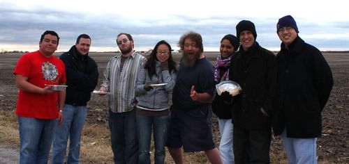
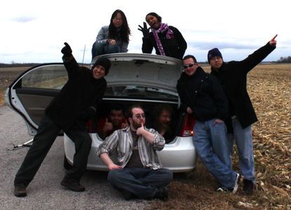
This was the second annual Pi Day geohashing expedition in the Champaign/Urbana, Illinois graticule. Eight geohashers, including Brett and Nathan, got within half a mile of the graticule's coordinates. Cold weather and mud kept them from reaching the precise point, but they still ate pie.
Expedition
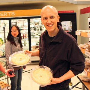
The expedition began when Alejandro, Kevin, Brett, Kamilah, and Yun Young bought pies. Unfortunately they did not plan far enough ahead to bake the pies themselves. They got one apple pie, one peach pie, and a blackberry cobbler (which Kamilah assured them counted as a kind of pie).
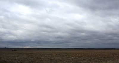
They then drove directly north under foreboding gray skies to the geohashing point. On the way, the members of one car attempted to instigate a Chinese fire drill by swapping seats with the members of the other car. It was hilariously unsuccessful.
The group reached the gravel road south of the coordinates. The clouds had gotten thicker during the drive, and the wind whipped across the bare open fields. Only Brett and Kevin had dressed warm enough to stand the cold. Nathan wore shorts.
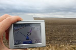
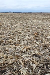
The precise point fell a half a mile away in the middle of a cornfield covered with the remains of last year's harvest.
Below the discarded corn stalks lay a deep layer of sucking mud. Alejandro, Nathan, and Brett knew from the previous year that it would be incredibly difficult to hike the remaining distance to the coordinates. Shamefully, none of the eight participants attempted to cross the field.
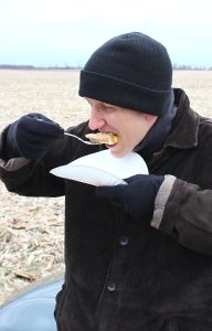
Instead, they ate pie!
While eating, Lucas noticed that Kevin's camera could record video. This inspired him to direct a short film with the cornfields and country roads as a backdrop. He will post it online and add a link here when it is complete.
Once again, geohashing led to a fun activity that wouldn't have happened otherwise.
