Difference between revisions of "2011-12-28 50 11"
From Geohashing
imported>Reinhard (report, photos will follow) |
imported>Reinhard (captions) |
||
| Line 17: | Line 17: | ||
== Photos == | == Photos == | ||
{{gallery|width=200|height=200|lines=1 | {{gallery|width=200|height=200|lines=1 | ||
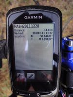
| − | |Image:20111228-50N11E-01.jpg| | + | |Image:20111228-50N11E-01.jpg|Coordinates not reached. |
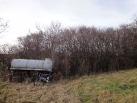
| − | |Image:20111228-50N11E-02.jpg| | + | |Image:20111228-50N11E-02.jpg|It's some meters behind my bike, |
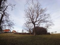
| − | |Image:20111228-50N11E-03.jpg| | + | |Image:20111228-50N11E-03.jpg|within that fenced area. |
}} | }} | ||
Revision as of 13:05, 30 December 2011
| Wed 28 Dec 2011 in 50,11: 50.8468062, 11.0918196 geohashing.info google osm bing/os kml crox |
Location
On a fenced meadow in Wülfershausen (Thuringia).
Participants
Expedition
I planned to cycle from Erfurt to Schleusingerneundorf. Visiting the hash meant a detour of 5 to 10 km and I thought it's worth trying, though I couldn't be sure to reach the coordinates. Turned out the area was fenced, and I couldn't make it closer than 15 m to the hashpoint. When I got into the Thuringian forest, it got dark and I began to get cold and very weak, so I was happy to finally reach Schleusingerneundorf after 70 km.
Photos
|


