Difference between revisions of "2012-10-25 34 -84"
From Geohashing
imported>NWoodruff (Created page with "{{meetup graticule | map=<map lat="34" lon="-84" date="2012-10-25" /> | lat=34 | lon=-84 | date=2012-10-25 | graticule_name=Roswell | graticule_link=Roswell, Georgia }} == Gr...") |
imported>NWoodruff (→Gallery) |
||
| Line 25: | Line 25: | ||
== Gallery == | == Gallery == | ||
<gallery caption="Photo Gallery" widths="200px" heights="200px" perrow="3"> | <gallery caption="Photo Gallery" widths="200px" heights="200px" perrow="3"> | ||
| − | Image:20121025_34_-84NW01.JPG | | + | Image:20121025_34_-84NW01.JPG | 2.41 feet to go. Close enough. |
| + | Image:20121025_34_-84NW02.JPG | Time of the meetup. | ||
| + | Image:20121025_34_-84NW03.JPG | Date of the actual meetup. | ||
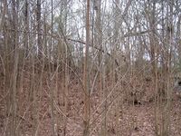
| + | Image:20121025_34_-84NW04.JPG | Looking West standing on the Geohash spot. | ||
| + | Image:20121025_34_-84NW05.JPG | Looking East standing on the Geohash spot. | ||
| + | Image:20121025_34_-84NW06.JPG | Looking North standing on the Geohash spot. | ||
</gallery> | </gallery> | ||
Revision as of 19:09, 14 February 2017
| Thu 25 Oct 2012 in Roswell: 34.0243729, -84.1514927 geohashing.info google osm bing/os kml crox |
Contents
Graticule
About
Off in the woods near a golf course driving range in Johns Creek.
People
Expeditions
Gallery
- Photo Gallery
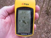
2.41 feet to go. Close enough.
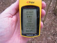
Time of the meetup.
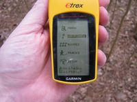
Date of the actual meetup.
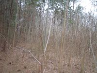
Looking West standing on the Geohash spot.
Looking East standing on the Geohash spot.
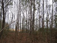
Looking North standing on the Geohash spot.


