Difference between revisions of "2008-06-01 59 17"
imported>Thomcat (Success/failure category added) |
imported>Danatar m (closed gallery tag so that the categories are displayed) |
||
| Line 47: | Line 47: | ||
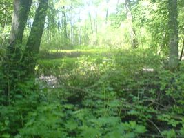
Image:2008-06-01-59-17-010.jpg|It was quite swampy all the way on the lake side of the road so I didn't try to get trough to the lake any where else. | Image:2008-06-01-59-17-010.jpg|It was quite swampy all the way on the lake side of the road so I didn't try to get trough to the lake any where else. | ||
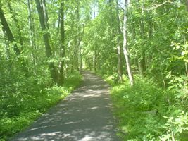
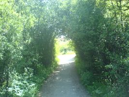
Image:2008-06-01-59-17-011.jpg|Time to head out of the forest and head home. | Image:2008-06-01-59-17-011.jpg|Time to head out of the forest and head home. | ||
| + | </gallery> | ||
[[Category:Expeditions]] | [[Category:Expeditions]] | ||
Revision as of 13:45, 4 February 2009
| Sun 1 Jun 2008 in Stockholm: 59.3491079, 17.9162389 geohashing.info google osm bing/os kml crox |
Contents
The Location
Since the coordinates for today was so far to the east of the Graticule, Stockholm West (or Uppsala) graticule provided a quite good location. It was located in Bromma near the Åkeshov subway station, making it reachable without a car. Unfortunately as always good luck was canceled out by some bad luck. The actual location was in the middle of a small lake. About 200 meters from shore to shore at the widest spots. So making it to the exact spot was quite hard if you didn't feel like swimming. However a look at a map showed that there was a nice walking paths along the lake and a look at a satellite photo reviled two bridges going out into the water, so I decided that if I couldn't reach the spot I would at least get to see it and encircle it.
The Nature
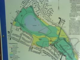
The following is taken from an info board I ran into (see pictures)
Kyrksjölöten is a tract of forest near Lake Kyrksjö. The lake is surrounded by one of Stockholm's largest damp broad-leaved forests. Here is to be found an abundance of dead and ancient trees, both standing and wind-felled, which together provide superb habitats for insects, birds and wood-decaying fungi. Damp broad-leaved forest is in decline all over Sweden, even though many species cannot survive without it. The area also includes stands of more typical broad-leaved forest, some of it mixed with evergreens. The lake and surrounding forest constitute one of the most valuable sites for amphibians in the Stockholm area. All of the region's amphibians are represented here, including the protected warty newt, as well as the smooth newt, common toad, "field frog" (Rana arvalis) and common frog. There is also rich bird life in the are, including the osprey, grey heron, goshawk, hawfinch, black woodpecker and lesser spotted woodpecker. One of the birds that nests along the shores of the lake is the Slavonian grebe. All of these bird species are classified as endangered. Among the water plants in the lake is another endangered species, a type of algae with a circular shape (Chara tomentosa). When the glacier from the last ice age receded from the Stockholm area some ten thousand years ago, it left traces in the still visible form of the De Geer moraines, which are of national interest.
The Trip
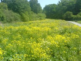
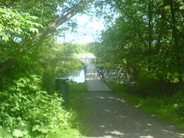
I arrived by subway around 1pm. It was a very nice pre summer day. With very high temperatures and not a cloud in sight. It was about a 500 meters walk from the subway to get to the path that encircled the lake. I intercepted it at the southwest corner and started walking in clock-wise direction. The trail went through a lovely area and I soon ran into an information board that told me more about the nature, and the fact that it was very special, and contained habitat for plenty of endangered species. I soon ran into the first bridge leading out onto the lake. Even tough it was a public bridge I chose not to go out on it since there where some people sunbathing there and I didn't want to disturb there privacy.
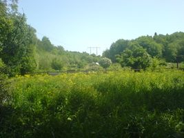
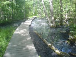
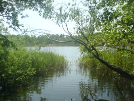
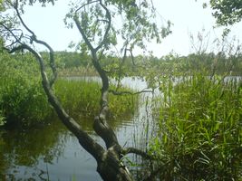
Shortly after that bridge I got to see some of the special nature the sign was talking about as it become very swampy and the path was replaced by a wooden bridge running for about 100 meters. After a while I got to the second bridge out onto the lake on the north side. This one was occupied by 14-15 year old girls. And I thought that taking pictures of girls that age in bikinis might be a bad idea so I walked on a bit and finally there was a spot where I could go down to the lake and take some picture of the place I estimated the actual spot to be.
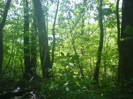
The path then continued into the forest and I never got to see the lake again, but the natures continued to be very nice. On the lake-side of the trail it was very swampy. So making another expedition down to the lake seemed like a very bad idea, and when I got back to the place I started I decided to head home. All in all my stroll around the lake took maybe 20-25 minutes or so.
Photos
Pictures taken with a phone camera so quality is so-so
- Pictures
