Difference between revisions of "2008-06-04 61 -149"
From Geohashing
imported>Orbatos |
imported>Orbatos (→Photographic Evidence) |
||
| Line 26: | Line 26: | ||
[[Category:Expeditions]] | [[Category:Expeditions]] | ||
[[Category:Expeditions with photos]] | [[Category:Expeditions with photos]] | ||
| + | [[Image:CIMG8158sm.JPG]] | ||
| + | [[Image:CIMG8159sm.JPG]] | ||
| + | [[Image:CIMG8160sm.JPG]] | ||
Revision as of 04:49, 5 June 2008
| Wed 4 Jun 2008 in Anchorage, AK: 61.1802923, -149.8450323 geohashing.info google osm bing/os kml crox |
Logistics
- Google Maps link
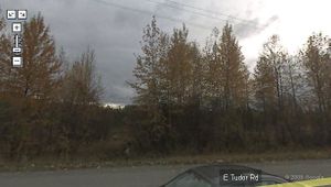
- In undeveloped land just off Tudor, west of Lake Otis. The second most accessible location since the algorithm was published.
Intended attendees
Execution/aftermath
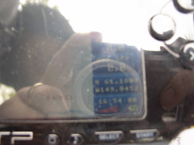
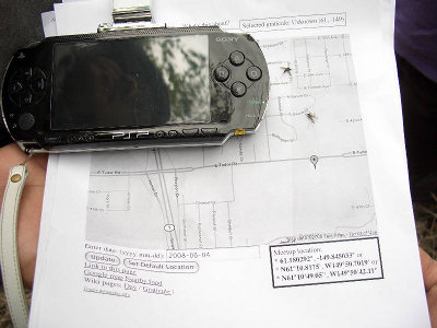
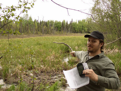
- Yos, Doug and I (orbatos) dropped by at 1800 after work, taking the long route into the bog and being followed by a disheveled (homeless?) man through the woods. The location is roughly .7 km from my house (this should earn me a Honorable Mention in the Couch Potato Achievement). The mosquitoes were ridiculous and my camera malfunctioned, leaving me with only a couple of pictures.


