Difference between revisions of "2008-06-20 40 -83"
From Geohashing
(New page: {{meetup graticule | map=<map lat="40" lon="-83" date="2008-06-20" /> | lat=40 | lon=-83 | date=2008-06-20 }} The Marysville, Ohio geohash for Friday, June 20, 2008 was ...) |
imported>Alex (Added photos.) |
||
| Line 10: | Line 10: | ||
*[[User:Chrajohn|Chris]] and [[User:Alex|Alex]] drove by the hash on their way to [[Toledo, Ohio]]. | *[[User:Chrajohn|Chris]] and [[User:Alex|Alex]] drove by the hash on their way to [[Toledo, Ohio]]. | ||
| + | |||
| + | <gallery caption="Pictures" widths="200px" heights="200px" perrow="2"> | ||
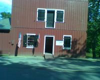
| + | Image:0620081709a.jpg| The hash location. | ||
| + | Image:0620081709b.jpg| The farmhouse next to the hash. | ||
| + | Image:0620081710a.jpg| The awesome tractor. | ||
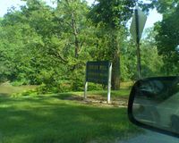
| + | Image:0620081714a.jpg| A steel bridge next to the Indian Mill Museum. | ||
| + | Image:0620081714b.jpg| We literally stumbled upon the museum as we were driving along to get back to the highway. | ||
| + | Image:0620081714c.jpg| A museum of milling since 1968! | ||
| + | </gallery> | ||
| + | |||
[[Category:Meetup on 2008-06-20]] | [[Category:Meetup on 2008-06-20]] | ||
Revision as of 00:41, 21 June 2008
| Fri 20 Jun 2008 in 40,-83: 40.8663951, -83.2270141 geohashing.info google osm bing/os kml crox |
The Marysville, Ohio geohash for Friday, June 20, 2008 was in a field near Upper Sandusky, Ohio, around the corner from the Indian Mill Museum.
Who came?
- Chris and Alex drove by the hash on their way to Toledo, Ohio.
- Pictures
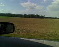
The hash location.
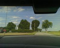
The farmhouse next to the hash.
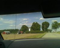
The awesome tractor.
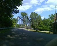
A steel bridge next to the Indian Mill Museum.
We literally stumbled upon the museum as we were driving along to get back to the highway.
A museum of milling since 1968!


