Difference between revisions of "2008-06-20 40 -83"
From Geohashing
imported>Alex (Added photos.) |
imported>Thomcat (Success/failure category added) |
||
| Line 20: | Line 20: | ||
</gallery> | </gallery> | ||
| − | + | [[Category:Expeditions]] | |
| − | [[Category: | + | [[Category:Expeditions with photos]] |
| + | [[Category:Coordinates not reached]] | ||
| + | [[Category:Failed - No public access]] | ||
| + | <!-- should add a category for drive-by, perhaps --> | ||
Revision as of 14:50, 11 August 2008
| Fri 20 Jun 2008 in 40,-83: 40.8663951, -83.2270141 geohashing.info google osm bing/os kml crox |
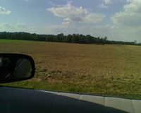
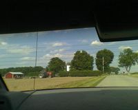
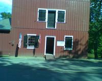
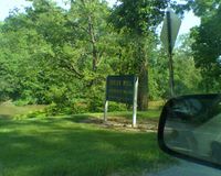
The Marysville, Ohio geohash for Friday, June 20, 2008 was in a field near Upper Sandusky, Ohio, around the corner from the Indian Mill Museum.
Who came?
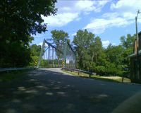
- Chris and Alex drove by the hash on their way to Toledo, Ohio.
- Pictures
