Difference between revisions of "2020-03-25 43 -72"
From Geohashing
(Added expedition) |
(Added achievement) |
||
| Line 32: | Line 32: | ||
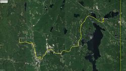
Image:20200325path.jpg|My path on the way there | Image:20200325path.jpg|My path on the way there | ||
</gallery> | </gallery> | ||
| + | |||
| + | == Achievements == | ||
| + | {{bicycle geohash | ||
| + | |||
| + | | latitude = 43 | ||
| + | | longitude = -72 | ||
| + | | date = 2020-03-25 | ||
| + | | name = Odysseus | ||
| + | | distance = 18 miles | ||
| + | | bothways = false | ||
| + | | image = 20200325 143953.jpg | ||
| + | }} | ||
{{location|US|NH|SU}} | {{location|US|NH|SU}} | ||
Revision as of 22:27, 25 March 2020
| Wed 25 Mar 2020 in Claremont: 43.3984961, -72.2122568 geohashing.info google osm bing/os kml crox |
Plans
It's only about 15 miles from me and right by a road, so I plan to bicycle unless family members want to come who'd rather drive.
I expect to be there at around 1:00pm
Location
A couple miles north of Newport.
Participants
Expedition
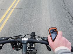
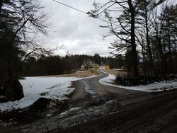
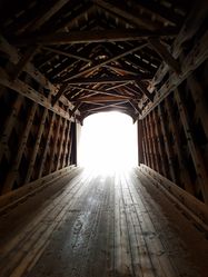
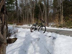
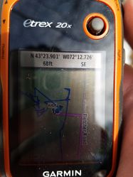
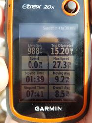
I set off at 12:40pm biked 15.2 miles to the hash. Most of the journey was on a major road, but near the end I was on a very peaceful road with a covered bridge and lots of nice houses. I was very tired by the time I got there and decided to call I ride home, as it had taken longer to get there than I thought. The hash was only 20ft or so off the road, so the only hard part was the biking. I biked 3 or so miles back to Newport where I suddenly got a flat front tire! Luckily, I met my ride home a few minutes later.
Photos
- Photo Gallery
Achievements
Odysseus earned the Bicycle geohash achievement
|
