Difference between revisions of "2009-07-16 51 11"
From Geohashing
imported>FippeBot m (Location) |
m |
||
| Line 21: | Line 21: | ||
[[Category:Expeditions with photos]] | [[Category:Expeditions with photos]] | ||
[[Category:Coordinates not reached]] | [[Category:Coordinates not reached]] | ||
| + | [[Category:Not reached - No public access]] | ||
{{location|DE|TH|SHK}} | {{location|DE|TH|SHK}} | ||
Latest revision as of 10:01, 25 April 2022
| Thu 16 Jul 2009 in 51,11: 51.0361713, 11.8285036 geohashing.info google osm bing/os kml crox |
Participants
Expedition
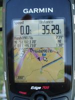
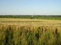
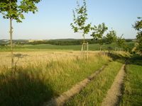
Reinhard assumed that this expedition could end without success, because as usual the hashpoint lay in a field. But the weather was nice and Reinhard had nothing special to do in the evening after work, so he started his expedition around 6 pm in Jena. After 35 km he got near the hash on a field path, but saw that he would have to cross a cereal field to get into the deep maize (I think that's what it was.) field. That would mean more than 100 m of trampling on food, which Reinhard wasn't going to do. So he continued his bike trip, taking a longer way back as always and enjoyed the warm summer evening. After 91 km he was back at work and drove the last 5 km home.
- Photo Gallery


