Difference between revisions of "2008-07-21 40 -83"
From Geohashing
imported>ReletBot m (Failed => Not reached) |
imported>FippeBot m (Location) |
||
| Line 26: | Line 26: | ||
[[Category:Coordinates not reached]] | [[Category:Coordinates not reached]] | ||
[[Category:Not reached - No public access]] | [[Category:Not reached - No public access]] | ||
| + | {{location|US|OH|FR}} | ||
Latest revision as of 06:03, 7 August 2019
| Mon 21 Jul 2008 in 40,-83: 40.0414124, -83.0382160 geohashing.info google osm bing/os kml crox |
The Marysville, Ohio geohash for Monday, July 21st, 2008 was in the backyard of a house in Upper Arlington.
The Location
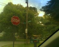
Since we didn't want to be trespassing, the alternate meetup location was on the corner of Marburn Drive and Pegg Avenue. The hash location was also realized rather late in the day, around 2:00 pm, so the meetup time was also pushed back to 5:00 pm in the interest of actually getting more locals out to the hash!
Who was there?
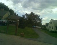
- Chris and Alex drove by at 5:10, but didn't stop since there wasn't a good place to wait without seeming like no-good hooligans. The neighborhood didn't have any sidewalks or cars parked in the street. They took pictures and drove once around the block, but didn't see anyone else.
- Pictures


