|
|
| Line 64: |
Line 64: |
| | | | |
| | ===tracklog=== | | ===tracklog=== |
| − | <!--{{tracklog | willfollow.gpx}}-->
| + | {{tracklog | 2023-05-29_51_13-triton.gpx}} |
| | | | |
| | [[Category:Expeditions]] | | [[Category:Expeditions]] |
Latest revision as of 10:51, 17 August 2023
Location
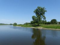
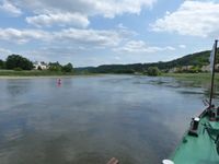
Today's location is right in the middle of the Elbe river in Meißen, not far from the city center.
Country: Germany; state: Sachsen (Saxony, EU:DE:SN); district: Meißen; municipality: Meißen
Weather: sunny, ~22 °C at noon
Water level of the Elbe at Meißen: 143 cm (average is 207 cm)
Expedition
Whit Monday is a public holiday, the weather forecast looked great and the hashpoint was in an interesting location. I made preparations to go on this expedition, but whether it would happen heavily depended on how much I had to work on Whit Sunday and through the night (the Sunday one week earlier was horrible).
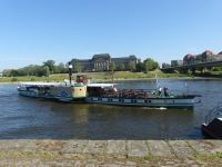
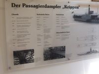
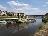
The work day turned out rather quiet and I was able to sleep about five hours during the night, which meant I was fit enough for the expedition. In the morning, I returned the work notebook and phone and then cycled to the pier of the Sächsische Dampfschifffahrt (Saxonian steamboat company) or Weiße Flotte. This "White Fleet" is the oldest (going back to 1836) and largest steamboat fleet in the world with nine historic side-wheeler paddle steamers. I bought a ticket and soon boarded the PD (passenger steamer) Krippen. The Krippen (one of the shortest of the fleet at 54 m length, with a draft of about 1 m) was built in 1892. She has only a few more horsepowers than my car, at less speed but much better floatational properties. All aboard, honk honk, full steam ahead!
The boat glided downstream for the next two hours, past meadows and houses and vineyards. Along the riverside, people were walking or cycling on the famous Elbe cycle path. The weather was very nice. During the trip I noticed something that might be interesting for any speaker of German: The Elbdampfschifffahrtskapitän was lacking a Donaudampfschifffahrtskapitänsmützenabzeichen, and not only because we were not on the Danube. But like everywhere in Germany, a barrel of beer was not far and so I was able to watch the very rare Elbdampfschifffahrtskapitänsbierfassanstich.
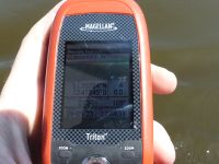
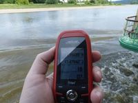
At quarter to noon, shortly before the Meißen stop on the boat route, we came nearer to the hashpoint. Since the boat was moving with no regard to where I wanted to go, a hashdance was impossible. I could only position myself on the deck – which was only 5 m wide – and hope to be swept through the hashpoint at 14-15 km/h. Sadly, the Elbe is about 80 meters wide in this location and the boat was not going directly through the spot. Suddenly everything happened very quickly and I almost missed taking pictures in time, but the nearest I was to the spot was 0.00022° (lon), about 14 meters.
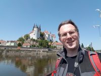
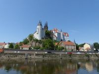
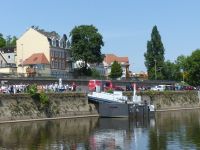
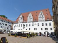
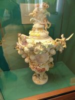
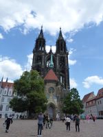
I disembarked at Meißen at noon. There I walked through the old town center and went to the porcelain factory (the oldest in Europe, established in 1710, still working by hand). I took the guided tour showing the manufacturing steps, was shocked by the prices in the shop (100-200 € for one dinner plate, the art pieces were in the tens of thousands) and then visited the museum with lots and lots of porcelain figurines and other items. Afterwards I climbed the hill to the Late Gothic/early Renaissance Albrechtsburg castle (15th century), which I visited rather quickly because I didn't want to miss the boat on its return trip.
At 3 p.m. the boat was back from its interim route further down the river and I boarded it a second time. Shortly after departure, we passed the hashpoint again. Now going upstream and thus slower (8-9 km/h), I had more time to prepare, but we only got within 0.00027° (18m). Then the boat continued its sedate journey to Dresden, where we arrived at 18:20
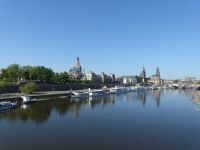
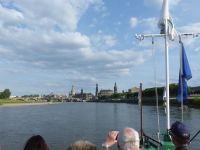
| Steamboat fleet and Dresden skyline
|
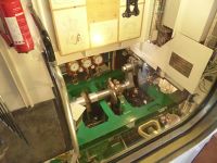
| information about Krippen
|
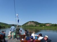
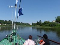
| people enjoying the weather on the water
|
| Bosel hill south of Meißen
|
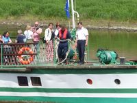
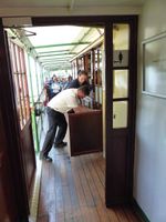
| Emergency, the beer barrel was empty!
|
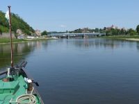
| first glimpse of Meißen in the distance
|
| GPS, not at the spot (14m)
|
| view across historic town center
|
| GPS, not at the spot (18m)
|
|
tracklog
