Difference between revisions of "2024-07-26 -37 145"
(→Photos) |
|||
| Line 39: | Line 39: | ||
== Photos == | == Photos == | ||
| − | <gallery perrow="3"> | + | <gallery heights="330px" perrow="3"> |
Image:2024-07-20_-37_145_Gimcrack_proof_20240727-001955.png|Proof | Image:2024-07-20_-37_145_Gimcrack_proof_20240727-001955.png|Proof | ||
Image:2024-07-20_-37_145_Gimcrack_paddock_off_Yarra_Rd.jpg|Paddock by night | Image:2024-07-20_-37_145_Gimcrack_paddock_off_Yarra_Rd.jpg|Paddock by night | ||
Revision as of 14:58, 26 July 2024
| Fri 26 Jul 2024 in -37,145: -37.7618096, 145.2724409 geohashing.info google osm bing/os kml crox |
Location
On Yarra Rd, Wonga Park
Participants
Expedition 1:
Expedition 2:
Plans
Expedition 1
Tracklog
Photos
Expedition 2 (Gimcrack)
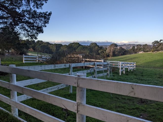
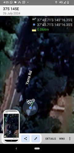
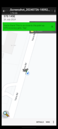
Noticing that this hash was close to my old stomping grounds and plausibly on my way home (where plausibly is doing some heavy lifting) I resolved to swing past on the spur of the moment. Other than the usual joys of Friday evening traffic, the drive was relatively uneventful, though long enough for my current playlist to wear thin. Initially I thought I had achieved a flyby, but I'm conscientious about not driving into ditches (or cyclists) while faffing with my phone, so the proof evaporated. A second attempt failed to register as close enough, so I had to go old school, parking around the corner and walking back to the hash. Given that the hash was between the road and the footpath, the flyby was always going to be a bit iffy. It has to be said that the location was much darker than when John, Lachie and Jude visited earlier, due to the sun having set, but I can add a nice night vision shot of the same paddock. Some pleasant real estate out there, it must be said...
Photos
Achievements
