Difference between revisions of "2024-08-26 40 -111"
From Geohashing
(First edit of page) |
m (Attempt to fix a broken link) |
||
| Line 25: | Line 25: | ||
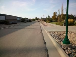
[[File:12637 Totorica Circle Riverton UT, picture 1.jpg|thumb|Not much to see here]] | [[File:12637 Totorica Circle Riverton UT, picture 1.jpg|thumb|Not much to see here]] | ||
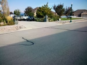
[[File:12637 Totorica Circle Riverton UT, picture 2.jpg|thumb|Not much to see here, either.]] | [[File:12637 Totorica Circle Riverton UT, picture 2.jpg|thumb|Not much to see here, either.]] | ||
| − | |||
| − | |||
| − | |||
| − | |||
Revision as of 02:04, 8 September 2024
| Mon 26 Aug 2024 in 40,-111: 40.5213774, -111.9962197 geohashing.info google osm bing/os kml crox |
Contents
Location
Right next to the driveway of a house, on Tortorica Circle, Riverton, Utah, US.
Participants
Plans
Uhhhhh.... whoops.... I kinda forgot to put that here before I went....
Expedition
I set out on a short, 20-minute bike ride from my house, using the trails in Daybreak, and eventually arrived at the geohash. I had to cross the busy 126th south road, and almost got ran over. It wasn't really worth it, as there was not really anything interesting to see at the spot. Just a bunch of houses right next to a busy road. So, I just turned around and went home. It was a really uninteresting first expedition. - W1THRD, September 7th, 2024 (arrived a few weeks late from the actual geohash date)

