Difference between revisions of "2024-10-31 47 8"
From Geohashing
Globescorer (talk | contribs) (→Photos) |
Globescorer (talk | contribs) (→Achievements) |
||
| Line 71: | Line 71: | ||
{{#vardefine:ribbonwidth|100%}} | {{#vardefine:ribbonwidth|100%}} | ||
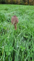
{{land geohash|date=2024-10-31|latitude=47|longitude=8|name=[[User:globescorer|globescorer]]|image=2024-10-31 47 8 The Geohash.jpg}} | {{land geohash|date=2024-10-31|latitude=47|longitude=8|name=[[User:globescorer|globescorer]]|image=2024-10-31 47 8 The Geohash.jpg}} | ||
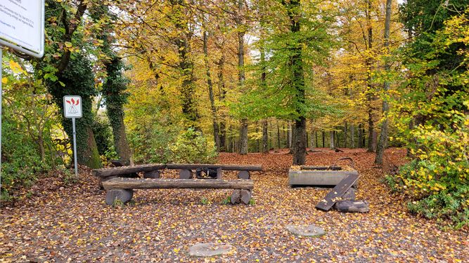
| + | {{Picnic | latitude = 4 | longitude = 8 | date = 2024-10-31 | name = globescorer | image = 2024-10-31 47 8 picnic.JPG | food = lunch }} | ||
{{location|CH|ZH}} | {{location|CH|ZH}} | ||
Revision as of 13:54, 31 October 2024
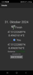
| Thu 31 Oct 2024 in 47,8: 47.5122269, 8.4960161 geohashing.info google osm bing/os kml crox |
Location
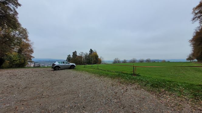
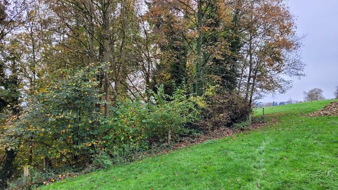
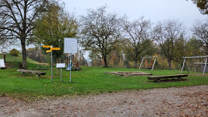
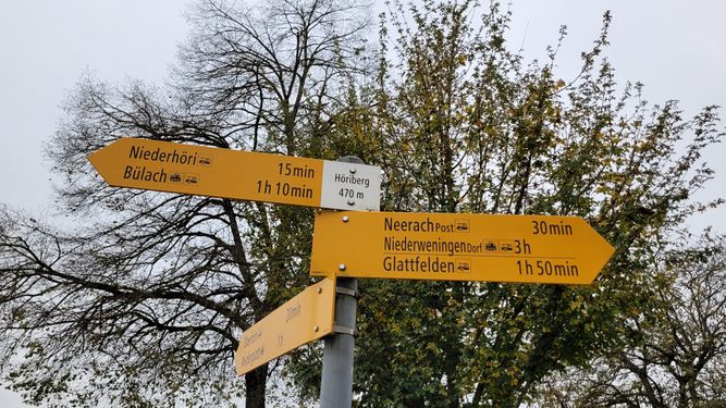
This Geohash is located on the Höriberg near Höri (ZH), Switzerland.
Participants
Plans
Visiting this geohash in my lunchtime and have some picnic-lunch.
Expedition
to come...
Photos
Achievements
globescorer earned the Land geohash achievement
|
globescorer earned the Picnic achievement
|

