File:2009022733-83NW08.JPG
From Geohashing
Revision as of 16:54, 30 January 2020 by Maintenance script (talk | contribs) (Maintenance script uploaded File:2009022733-83NW08.JPG)

Size of this preview: 800 × 600 pixels. Other resolutions: 320 × 240 pixels | 3,264 × 2,448 pixels.
Original file (3,264 × 2,448 pixels, file size: 6.05 MB, MIME type: image/jpeg)
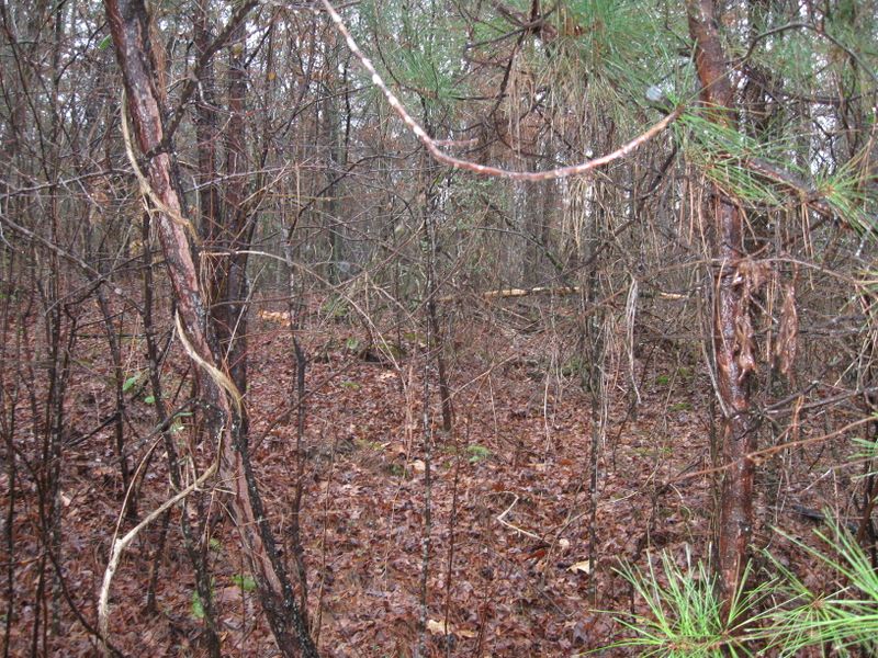
I had calculated that the hash point is about 75 feet from the stream and road. That should get me within the 10 meter radius, maybe even closer. and
File history
Click on a date/time to view the file as it appeared at that time.
| Date/Time | Thumbnail | Dimensions | User | Comment | |
|---|---|---|---|---|---|
| current | 16:54, 30 January 2020 |  | 3,264 × 2,448 (6.05 MB) | Maintenance script (talk | contribs) |
- You cannot overwrite this file.
File usage
The following page links to this file: