File:RHMH4-12-07-1941AB.jpg
From Geohashing
Revision as of 17:29, 30 January 2020 by Maintenance script (talk | contribs) (Maintenance script uploaded File:RHMH4-12-07-1941AB.jpg)
Size of this preview: 450 × 600 pixels. Other resolutions: 180 × 240 pixels | 960 × 1,280 pixels.
Original file (960 × 1,280 pixels, file size: 160 KB, MIME type: image/jpeg)
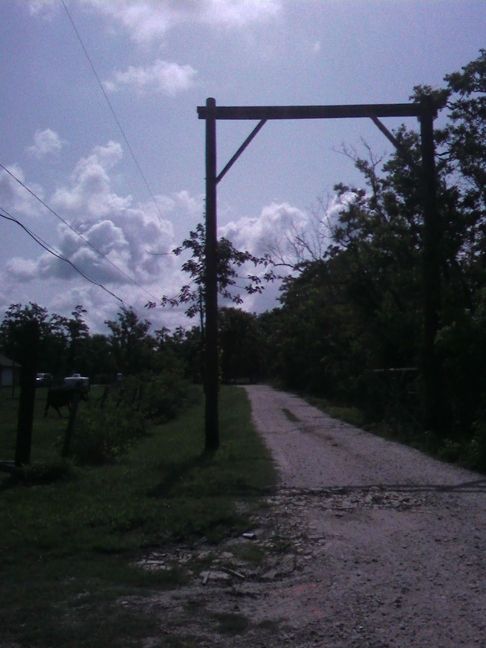
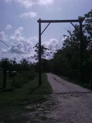
Fourth point of our "Random Historical MultiHash". Photo is aiming towards the Geohash point for 12-07-1941, the day of Pearl Harbor. This was looking East down Cowan Rd. The road past this point was private, so we stopped here. Dreadnought3000 is taking picture.
File history
Click on a date/time to view the file as it appeared at that time.
| Date/Time | Thumbnail | Dimensions | User | Comment | |
|---|---|---|---|---|---|
| current | 17:29, 30 January 2020 | | 960 × 1,280 (160 KB) | Maintenance script (talk | contribs) |
- You cannot overwrite this file.
File usage
The following page links to this file: