2009-12-31 29 -90
From Geohashing
Revision as of 00:13, 1 January 2010 by imported>Anaraug (→Plans)
| Thu 31 Dec 2009 in 29,-90: 29.6980729, -90.6080772 geohashing.info google osm bing/os kml crox |
Location
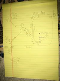
It's on the outskirts of Houma; about an hour drive from me. Actual destination is a mere 1109.7 feet (338.2 meters) from the road.
Looks to be right on the line between two peoples' property. Hopefully they don't think I'm shrooming like most people found randomly wandering a field on private property in Louisiana would be.
Participants
Plans
There aren't many. Going to drive down there, take pictures, and come back. It's my first geohash. I don't have a GPS, just going to wing it since on Google Maps it appears to be the northmost tree in a particular line of trees. Couldn't convince anyone to come with but I dig doing things solo anyway.
Expedition
Tracklog
Photos
