2012-08-19 29 -81
| Have you seen our geohashing marker? We'd love to hear from you! Click here to say "hi" and tell us what you've seen!
Curious about what geohashing is? Read more! |
| Sun 19 Aug 2012 in Daytona Beach, Florida: 29.2624920, -81.0300963 geohashing.info google osm bing/os kml crox |
Expedition
The Plan
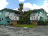
Looks like an apartment building near the beach. We'll take the highway down, try not to disturb the residents, and hope the satellite imagery is correct and it's outside the building. And, because it's the beach, spend some time there too.
Geohashers
The Adventure
The thing about living, but especially geohashing, in Florida is knowing how to time your outings around the frequent summer storms.
The trip down was just like every other expedition I've had for the last few months - leave in the car, the rain starts up as soon as we hit the highway, but doesn't really last. Aside from that, nothing really of note. We saw a Pirate's Cove mini golf and thought we'd come in after the hash for a round of fun. For the moment, though, we'd get what we came for and then have a bite to eat at a nearby Subway.
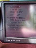
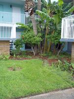
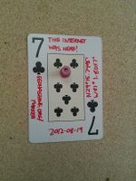
We reached Seville Condominiums around 1:30 and hoped that the hash was outside, and thankfully, it was. There wasn't a lot to do in the area, so we took our pictures and left the Seven of Clubs on their bulletin board. Nice to actually have a place to put a marker!
While we were eating, I checked a hashpoint we reached three months ago and realized it was ten miles away. So we went on over and checked it out to take a few time lapse pictures. One thing that was there this time were banners saying "Daytona Beach Shores - Life is better here," which makes sense as this is peak season. However, seeing the banners everywhere just made it look sinister instead of touristy. Unfortunately, the Two of Diamonds was long gone. Not terribly surprising, since Tropical Storm Debby soaked the area the next month.
Gallery
- Photo Gallery
Achieveables
None of note.
