File:2013-01-18 49 -123 Map.png
From Geohashing
Revision as of 17:25, 30 January 2020 by Maintenance script (talk | contribs) (Maintenance script uploaded File:2013-01-18 49 -123 Map.png)
Size of this preview: 800 × 531 pixels. Other resolutions: 320 × 213 pixels | 810 × 538 pixels.
Original file (810 × 538 pixels, file size: 902 KB, MIME type: image/png)
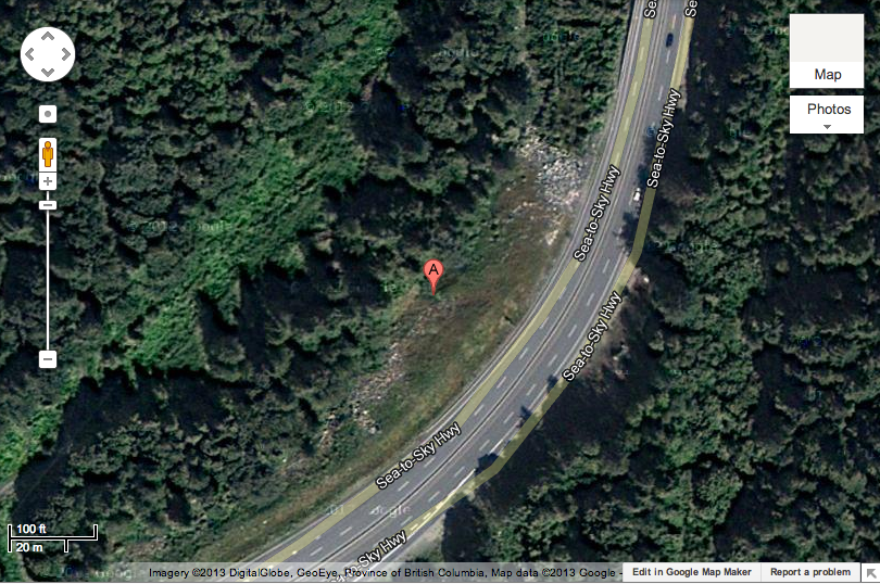
So close to the road...
File history
Click on a date/time to view the file as it appeared at that time.
| Date/Time | Thumbnail | Dimensions | User | Comment | |
|---|---|---|---|---|---|
| current | 17:25, 30 January 2020 | | 810 × 538 (902 KB) | Maintenance script (talk | contribs) |
- You cannot overwrite this file.
File usage
The following page links to this file: