File:2013080233-84NW04.JPG
From Geohashing
Revision as of 14:45, 30 January 2020 by Maintenance script (talk | contribs) (Maintenance script uploaded File:2013080233-84NW04.JPG)
No higher resolution available.
2013080233-84NW04.JPG (640 × 480 pixels, file size: 138 KB, MIME type: image/jpeg)
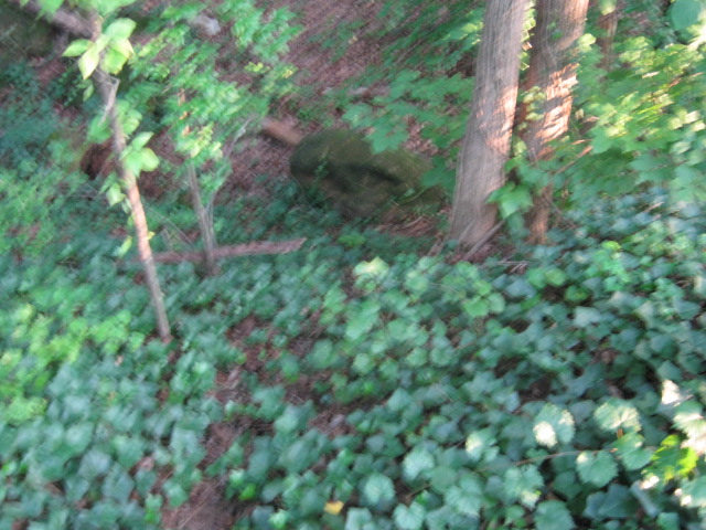
The actual Geohash spot is there. It is about 20 feet straight down. I didn't feel like climbing down. I am atleast in the 10 meter requirement.
File history
Click on a date/time to view the file as it appeared at that time.
| Date/Time | Thumbnail | Dimensions | User | Comment | |
|---|---|---|---|---|---|
| current | 14:45, 30 January 2020 | | 640 × 480 (138 KB) | Maintenance script (talk | contribs) |
- You cannot overwrite this file.
File usage
The following page links to this file: