File:2015-03-01 19 49-46.jpeg
From Geohashing
Revision as of 08:47, 3 March 2015 by imported>Benjw (fix date cat)
No higher resolution available.
2015-03-01_19_49-46.jpeg (640 × 480 pixels, file size: 162 KB, MIME type: image/jpeg)
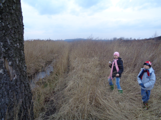
Terrain along the ditch is heavily overgrown. We're going to measure the distance to geohash less accurately by going perpendicular to the ditch first, then parallel to it.
File history
Click on a date/time to view the file as it appeared at that time.
| Date/Time | Thumbnail | Dimensions | User | Comment | |
|---|---|---|---|---|---|
| current | 15:30, 30 January 2020 | | 640 × 480 (162 KB) | Maintenance script (talk | contribs) |
- You cannot overwrite this file.
File usage
The following page links to this file: