File:2015 08 18 55 12 map.png
From Geohashing
Revision as of 14:59, 30 January 2020 by Maintenance script (talk | contribs) (Maintenance script uploaded File:2015 08 18 55 12 map.png)

Size of this preview: 400 × 600 pixels. Other resolutions: 160 × 240 pixels | 640 × 960 pixels.
Original file (640 × 960 pixels, file size: 56 KB, MIME type: image/png)
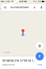
The google map screenshot that necessarily comprises my GPS proof
File history
Click on a date/time to view the file as it appeared at that time.
| Date/Time | Thumbnail | Dimensions | User | Comment | |
|---|---|---|---|---|---|
| current | 14:59, 30 January 2020 | | 640 × 960 (56 KB) | Maintenance script (talk | contribs) |
- You cannot overwrite this file.
File usage
The following page links to this file: