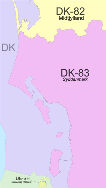
File:Region 55,8 Admin 4.svg
From Geohashing
Revision as of 03:56, 24 January 2023 by Leidenfrost (talk | contribs) (Leidenfrost uploaded a new version of File:Region 55,8 Admin 4.svg)

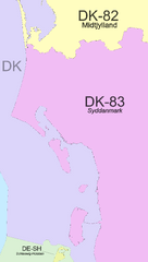
Size of this PNG preview of this SVG file: 339 × 599 pixels. Other resolution: 136 × 240 pixels.
Original file (SVG file, nominally 1,571 × 2,778 pixels, file size: 234 KB)
Summary
It seems to be the case that the subdivisions of Denmark do not lay claim to any specific waters; Denmark as a whole claims the waters.
Colouring based on: this (Europe); this (Germany); and [https://commons.wikimedia.org/wiki/File:Denmark,_administrative_divisions_-_de_-_colored.svg this (Denmark) file
File history
Click on a date/time to view the file as it appeared at that time.
| Date/Time | Thumbnail | Dimensions | User | Comment | |
|---|---|---|---|---|---|
| current | 03:56, 24 January 2023 | | 1,571 × 2,778 (234 KB) | Leidenfrost (talk | contribs) | adjusted subtexts to fit after conversion Category: Maps |
| 03:52, 24 January 2023 |  | 1,571 × 2,778 (234 KB) | Leidenfrost (talk | contribs) | larger file | |
| 03:44, 24 January 2023 |  | 56 × 99 (234 KB) | Leidenfrost (talk | contribs) | It seems to be the case that the subdivisions of Denmark do not lay claim to any specific waters; Denmark as a whole claims the waters. Colouring based on: [https://commons.wikimedia.org/wiki/File:Europe,_administrative_divisions_-_ISO3166_-_colored.s... |
- You cannot overwrite this file.
File usage
The following page links to this file: