File:2011-09-11 48 11 18-53-35-269.jpg
From Geohashing
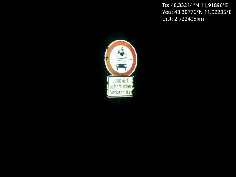
Revision as of 16:53, 13 September 2011 by imported>Gefrierbrand (End of the road [http://www.openstreetmap.org/?lat=48.30776151269674&lon=11.922350255772471&zoom=16&layers=B000FTF @48,3078,11,9224] Category:Meetup on 2011-09-11 Category:Meetup in 48 11)
No higher resolution available.
2011-09-11_48_11_18-53-35-269.jpg (800 × 600 pixels, file size: 18 KB, MIME type: image/jpeg)
End of the road @48,3078,11,9224
File history
Click on a date/time to view the file as it appeared at that time.
| Date/Time | Thumbnail | Dimensions | User | Comment | |
|---|---|---|---|---|---|
| current | 14:29, 30 January 2020 | | 800 × 600 (18 KB) | Maintenance script (talk | contribs) |
- You cannot overwrite this file.
File usage
There are no pages that link to this file.