File:2013-06-16 48 9 21-46-23-710.jpg
From Geohashing
Revision as of 19:46, 16 June 2013 by imported>Kobras (First geohash where the GPS battery didn't run flat near the final location. Don and me made it to the destination in an orchard of the lovely Erms valley. [http://www.openstreetmap.org/?lat=48.51050000&lon=9.35571000&zoom=16&layers=B000FTF @48.5105,9....)
No higher resolution available.
2013-06-16_48_9_21-46-23-710.jpg (800 × 600 pixels, file size: 61 KB, MIME type: image/jpeg)
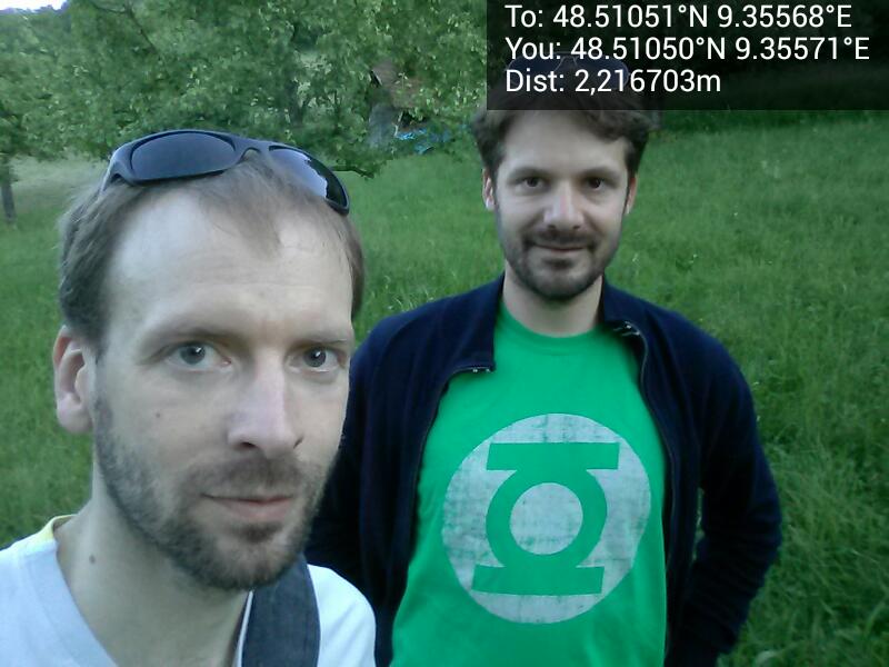
First geohash where the GPS battery didn't run flat near the final location. Don and me made it to the destination in an orchard of the lovely Erms valley. @48.5105,9.3557
File history
Click on a date/time to view the file as it appeared at that time.
| Date/Time | Thumbnail | Dimensions | User | Comment | |
|---|---|---|---|---|---|
| current | 15:08, 30 January 2020 | | 800 × 600 (61 KB) | Maintenance script (talk | contribs) |
- You cannot overwrite this file.
File usage
The following 4 pages link to this file: