File:2013-05-25 47 -122 18-52-29-778.jpg
From Geohashing
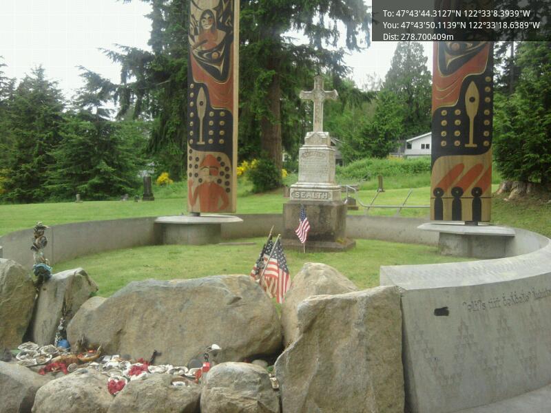
Revision as of 01:52, 26 May 2013 by imported>Thomcat (At the gravesite [http://www.openstreetmap.org/?lat=47.73058720&lon=-122.55517747&zoom=16&layers=B000FTF @47.7306,-122.5552] Category:Meetup on 2013-05-25 Category:Meetup in 47 -122)
No higher resolution available.
2013-05-25_47_-122_18-52-29-778.jpg (800 × 600 pixels, file size: 84 KB, MIME type: image/jpeg)
At the gravesite @47.7306,-122.5552
File history
Click on a date/time to view the file as it appeared at that time.
| Date/Time | Thumbnail | Dimensions | User | Comment | |
|---|---|---|---|---|---|
| current | 14:01, 30 January 2020 | | 800 × 600 (84 KB) | Maintenance script (talk | contribs) |
- You cannot overwrite this file.
File usage
The following page links to this file: