File:Inaccurate satellite proof.png
From Geohashing
Revision as of 18:29, 13 January 2015 by imported>Micsnare (Proof)

Size of this preview: 337 × 599 pixels. Other resolutions: 135 × 240 pixels | 1,080 × 1,920 pixels.
Original file (1,080 × 1,920 pixels, file size: 1.98 MB, MIME type: image/png)
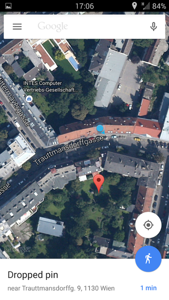
Proof
File history
Click on a date/time to view the file as it appeared at that time.
| Date/Time | Thumbnail | Dimensions | User | Comment | |
|---|---|---|---|---|---|
| current | 14:26, 30 January 2020 | | 1,080 × 1,920 (1.98 MB) | Maintenance script (talk | contribs) |
- You cannot overwrite this file.
File usage
The following page links to this file: