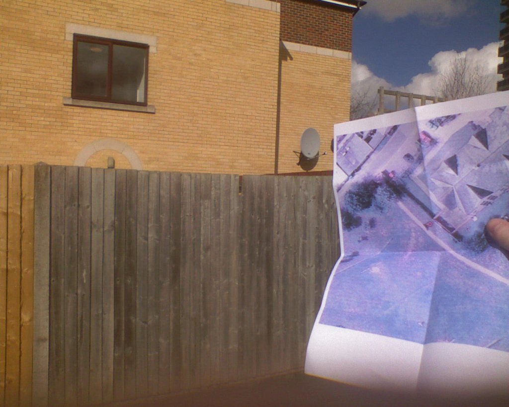
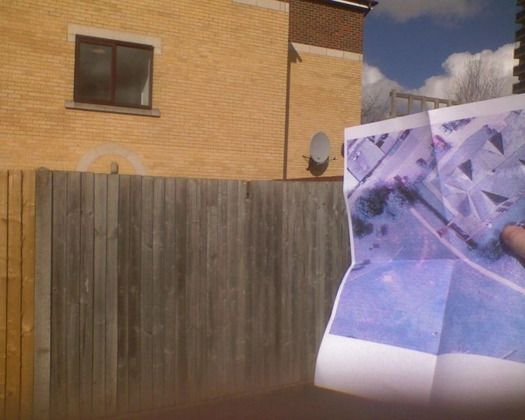
File:2009-03-04 51 -1 Map and house.jpg
From Geohashing
Revision as of 19:32, 12 February 2010 by imported>AperfectBot (Ook!)
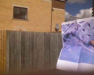
Size of this preview: 750 × 600 pixels. Other resolutions: 300 × 240 pixels | 1,024 × 819 pixels.
Original file (1,024 × 819 pixels, file size: 125 KB, MIME type: image/jpeg)
The aerial photograph/map that led me to the hashpoint, against the house pictured on it
File history
Click on a date/time to view the file as it appeared at that time.
| Date/Time | Thumbnail | Dimensions | User | Comment | |
|---|---|---|---|---|---|
| current | 14:43, 30 January 2020 | | 1,024 × 819 (125 KB) | Maintenance script (talk | contribs) |
- You cannot overwrite this file.
File usage
The following 2 pages link to this file: