File:Closest point on land.jpg
From Geohashing
Revision as of 12:04, 1 June 2010 by imported>AperfectBot (Ook.)

Size of this preview: 449 × 599 pixels. Other resolutions: 180 × 240 pixels | 581 × 775 pixels.
Original file (581 × 775 pixels, file size: 190 KB, MIME type: image/jpeg)
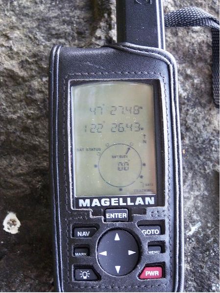
GPS view of closest point of approach to mark.
File history
Click on a date/time to view the file as it appeared at that time.
| Date/Time | Thumbnail | Dimensions | User | Comment | |
|---|---|---|---|---|---|
| current | 15:34, 30 January 2020 | | 581 × 775 (190 KB) | Maintenance script (talk | contribs) |
- You cannot overwrite this file.
File usage
The following page links to this file: