2024-08-02 49 8
| Fri 2 Aug 2024 in Mannheim: 49.2432433, 8.4484304 geohashing.info google osm bing/os kml crox |
Location
Today's location is next to a cutoff of the Rhine river at Philippsburg, not far from the shut-down nuclear power plant.
Country: Germany; state: Baden-Württemberg (EU:DE:BW); administrative region: Karlsruhe; district: Karlsruhe (rural district); municipality Philippsburg
Weather: sunny
Expedition
Danatar
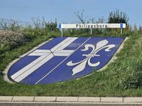
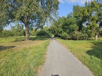
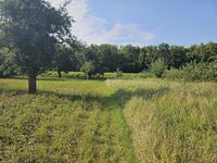
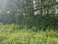
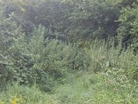
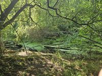
After the first two days at my new job in Karlsruhe, I drove back to my parents' place. I passed Hochstetten, then instead of driving to the Autobahn near Graben-Neudorf, I took country roads via Dettenheim and Huttenheim to Philippsburg. There I parked the car at the town boundary and walked along a track in the general direction of the hashpoint. I passed between an orchard and a herb field and reached the dam that protects the town from flooding. That dam was totally overgrown with grasses and other plants, so walking along it was not easy. The day had been warm but not hot, yet now I was starting to sweat profusely. Flies and mosquitos arrived in ever-increasing numbers, so I needed to defend myself constantly. After fighting my way to the end of the dam next to a solar park, I had planned to cross through the floodplain forest to the spot. This turned out to be not possible, because in addition to the thick bushes, there were brambles and nettles. The mosquitos also became even more aggressive. I tried to find a gap in the hedges, but the only one soon ended at a flooded ditch. I gave up.
Still fighting against mosquitos, I made my way back out of the wilderness, soaked and dripping with sweat. A deer ran away from me at one time. I drove home via Waghäusel.
|
tracklog
File: willfollow.gpx does not exist. Reload?
