File:2009-02-16 trout lake landscape2.jpg
From Geohashing
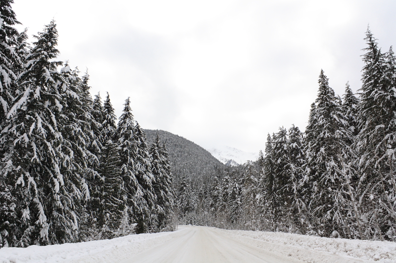
Revision as of 07:22, 20 February 2009 by imported>Juventas (My first tripod-stabilized landscape shot is this one outside of Trout Lake. The road leads in the direction of the coordinates. Category: Meetup on 2009-02-16 Category: Meetup in 50 -117)
No higher resolution available.
2009-02-16_trout_lake_landscape2.jpg (800 × 533 pixels, file size: 470 KB, MIME type: image/jpeg)
My first tripod-stabilized landscape shot is this one outside of Trout Lake. The road leads in the direction of the coordinates.
File history
Click on a date/time to view the file as it appeared at that time.
| Date/Time | Thumbnail | Dimensions | User | Comment | |
|---|---|---|---|---|---|
| current | 16:21, 30 January 2020 | | 800 × 533 (470 KB) | Maintenance script (talk | contribs) |
- You cannot overwrite this file.
File usage
The following 6 pages link to this file: