File:2010-04-28 45 -122 17-23-40-344.jpg
From Geohashing
Revision as of 00:23, 29 April 2010 by imported>Aperfectring (It a (rain|hail)bow! [http://www.openstreetmap.org/?lat=45.571868333333335&lon=-122.90116828333333&zoom=16&layers=B000FTF @45.5719,-122.9012] Category:Meetup on 2010-04-28 Category:Meetup in 45 -122)
No higher resolution available.
2010-04-28_45_-122_17-23-40-344.jpg (800 × 597 pixels, file size: 57 KB, MIME type: image/jpeg)
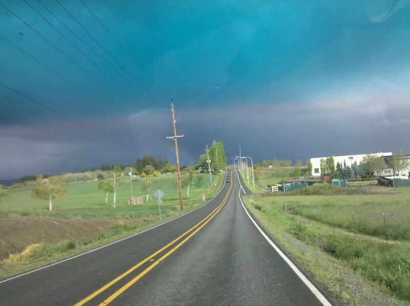
It a (rain|hail)bow! @45.5719,-122.9012
File history
Click on a date/time to view the file as it appeared at that time.
| Date/Time | Thumbnail | Dimensions | User | Comment | |
|---|---|---|---|---|---|
| current | 17:03, 30 January 2020 | | 800 × 597 (57 KB) | Maintenance script (talk | contribs) |
- You cannot overwrite this file.
File usage
The following page links to this file: