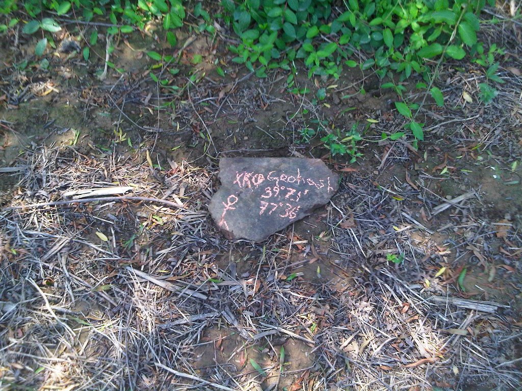
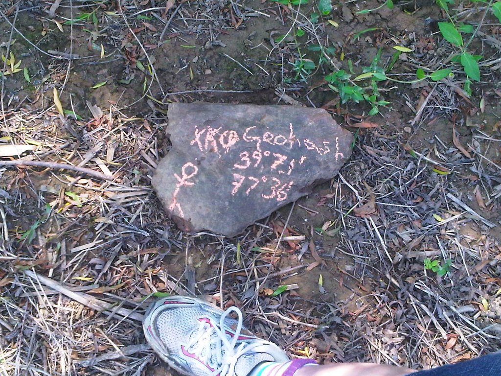
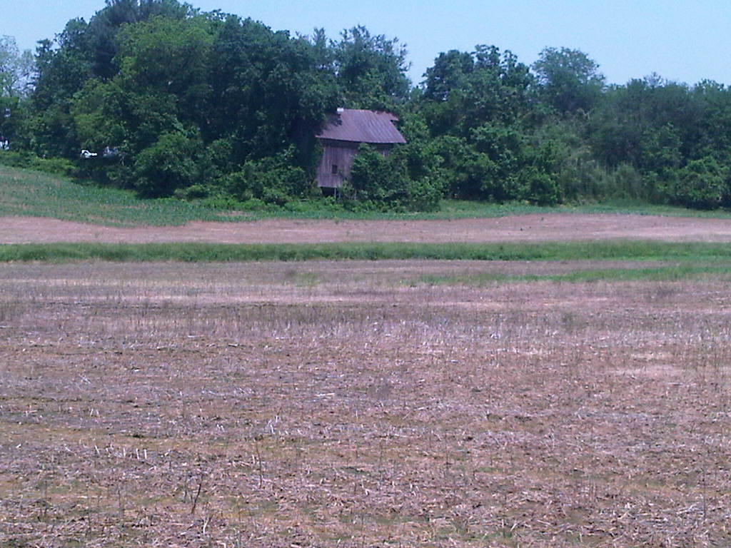
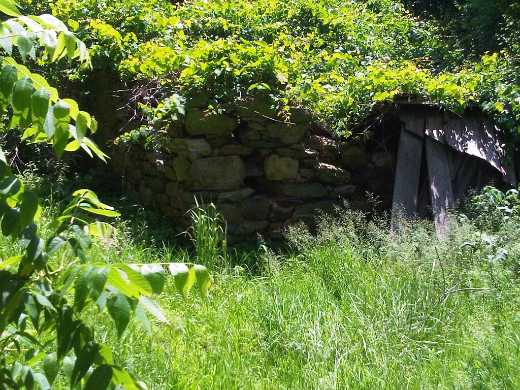
2011-05-30 39 -77
From Geohashing
Revision as of 21:55, 30 May 2011 by imported>TravisLow (→Photos)
| Mon 30 May 2011 in Frederick, Maryland: 39.1178768, -77.6393012 geohashing.info google osm bing/os kml crox |
Location
Between 12 and 1pm -- Midway between Leesburg and Purcellville, on State Route 77.
Participants
Plans
Between 12 and 1pm -- Midway between Leesburg and Purcellville, on State Route 77.
Expedition
Tracklog
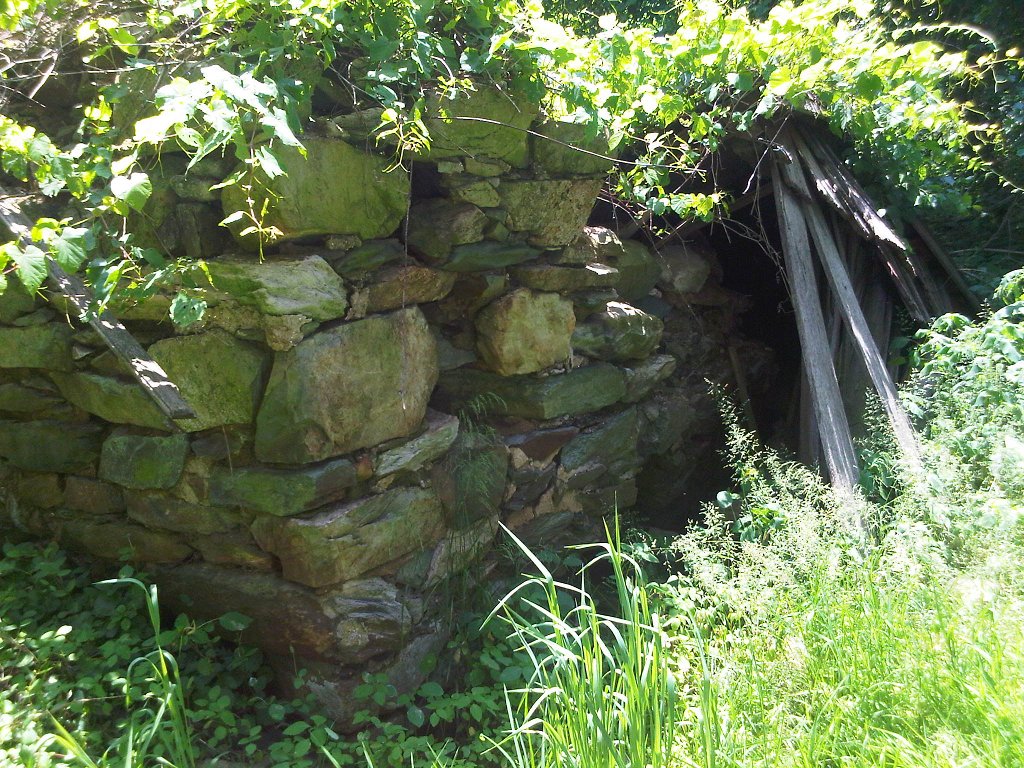
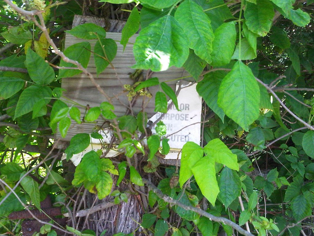
Photos
Hmmm, I can't get the gallery tag to work. Whatever.
Achievements
