File:2012-02-29 41 -73 17-49-37-145.jpg
From Geohashing
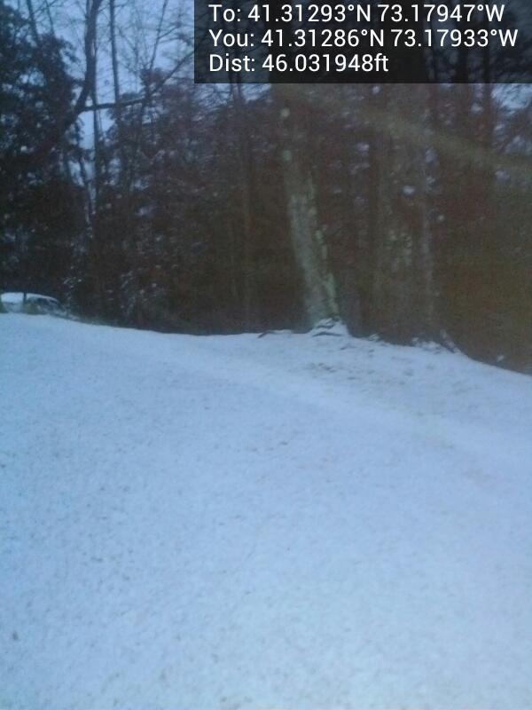
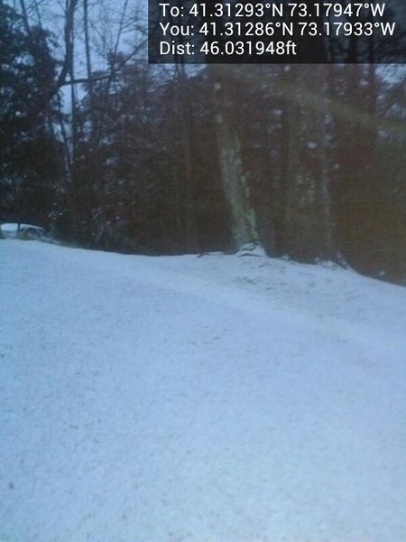
Revision as of 22:49, 29 February 2012 by imported>NCommander (Hash point from the road. Approx 5 to 10 feet [http://www.openstreetmap.org/?lat=41.31285503&lon=-73.17933435&zoom=16&layers=B000FTF @41.3129,-73.1793] Category:Meetup on 2012-02-29 Category:Meetup in 41 -73)
Size of this preview: 450 × 600 pixels. Other resolutions: 180 × 240 pixels | 600 × 800 pixels.
Original file (600 × 800 pixels, file size: 48 KB, MIME type: image/jpeg)
Hash point from the road. Approx 5 to 10 feet @41.3129,-73.1793
File history
Click on a date/time to view the file as it appeared at that time.
| Date/Time | Thumbnail | Dimensions | User | Comment | |
|---|---|---|---|---|---|
| current | 13:45, 30 January 2020 | | 600 × 800 (48 KB) | Maintenance script (talk | contribs) |
- You cannot overwrite this file.
File usage
The following page links to this file: