File:2012-05-02 40 -105 mineSign.JPG
From Geohashing
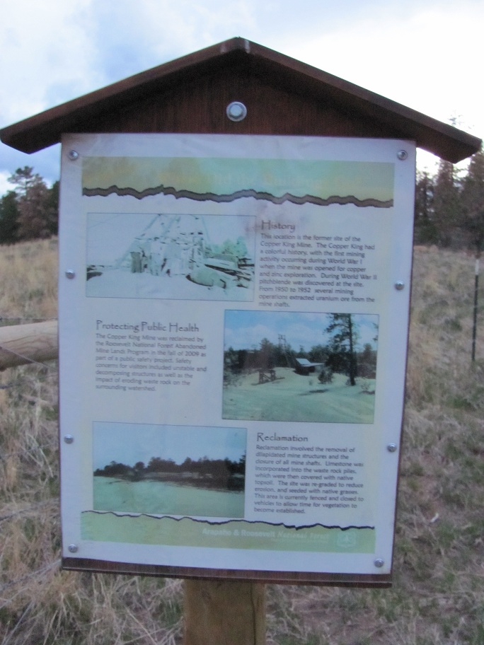
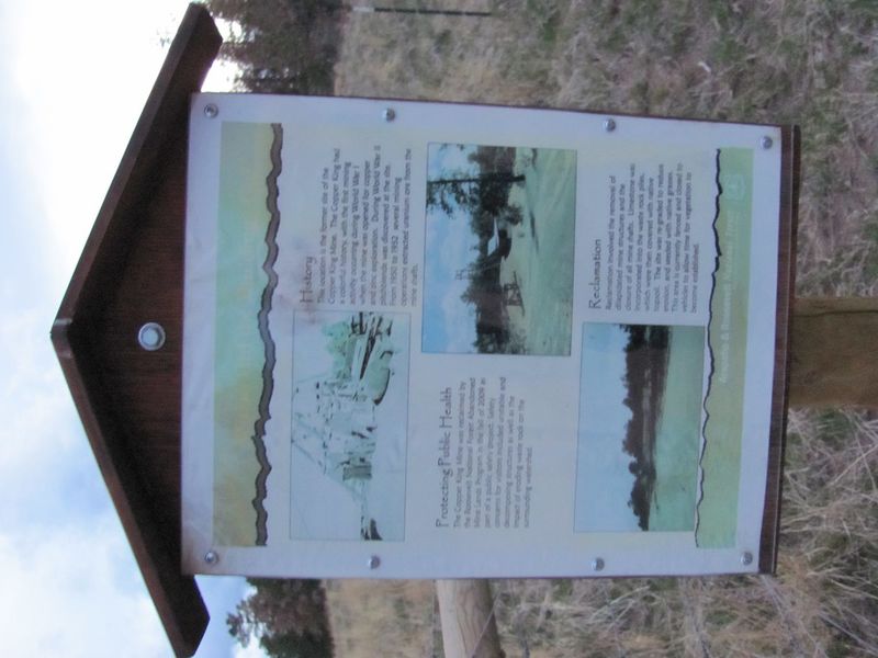
Revision as of 06:24, 3 May 2012 by imported>Squenes (A sign across the road from the May 2, 2012 hash point in 40,-105 describing the mining operation that formerly occupied the site. The Copper King Mine produced copper, zinc, and uranium in the early part of the 20th century before being abandoned. The)
Size of this preview: 800 × 600 pixels. Other resolution: 320 × 240 pixels.
Original file (912 × 684 pixels, file size: 175 KB, MIME type: image/jpeg)
A sign across the road from the May 2, 2012 hash point in 40,-105 describing the mining operation that formerly occupied the site. The Copper King Mine produced copper, zinc, and uranium in the early part of the 20th century before being abandoned. The US Forest Service dismantled the buildings and closed up the mine shafts in 2009 as they presented a safety hazard.
File history
Click on a date/time to view the file as it appeared at that time.
| Date/Time | Thumbnail | Dimensions | User | Comment | |
|---|---|---|---|---|---|
| current | 15:49, 30 January 2020 | | 912 × 684 (175 KB) | Maintenance script (talk | contribs) |
- You cannot overwrite this file.
File usage
The following page links to this file: