File:2013-03-19 33 -116 10-25-22-479.jpg
From Geohashing
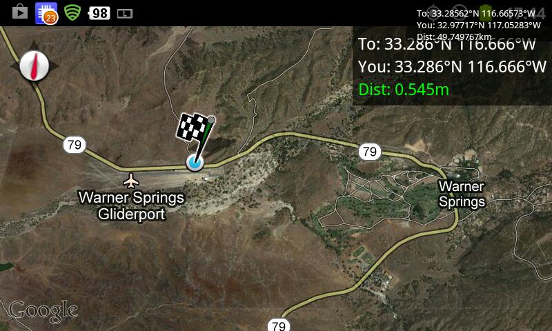
Revision as of 17:25, 23 March 2013 by imported>LucasBrown (Geohash Droid map at the hashpoint [http://www.openstreetmap.org/?lat=32.97717360&lon=-117.05282790&zoom=16&layers=B000FTF @32.9772,-117.0528] Category:Meetup on 2013-03-19 Category:Meetup in 33 -116)
No higher resolution available.
2013-03-19_33_-116_10-25-22-479.jpg (800 × 480 pixels, file size: 79 KB, MIME type: image/jpeg)
Geohash Droid map at the hashpoint @32.9772,-117.0528
File history
Click on a date/time to view the file as it appeared at that time.
| Date/Time | Thumbnail | Dimensions | User | Comment | |
|---|---|---|---|---|---|
| current | 17:20, 30 January 2020 | | 800 × 480 (79 KB) | Maintenance script (talk | contribs) |
- You cannot overwrite this file.
File usage
The following page links to this file: